Severe weather plows through Midwest

-
2:24

Suspect arrested for allegedly sexually assaulting two girls...
-
0:25

Humane Society of St. Joseph County holds microchip clinic
-
2:58

Pulaski County Community Foundation provides support for childcare...
-
3:14

Green wave of economic growth in Michigan from marijuana dispensaries
-
1:28

Brisk, breezy but beautiful weekend
-
0:48

University Park Mall holding parking-lot carnival this week
-
1:52

While the rain is over, the cooling temperatures are not
-
2:28

Public forum hosted by John Glenn High School students
-
3:34

Kickoff preview with ABC57’s Allison Hayes
-
0:57

Completion of Martin Luther King Jr. Dream Center one step closer
-
0:36

Niles High School students network with local professionals
-
3:59

Political group asks Indiana Democrats to vote in Republican...

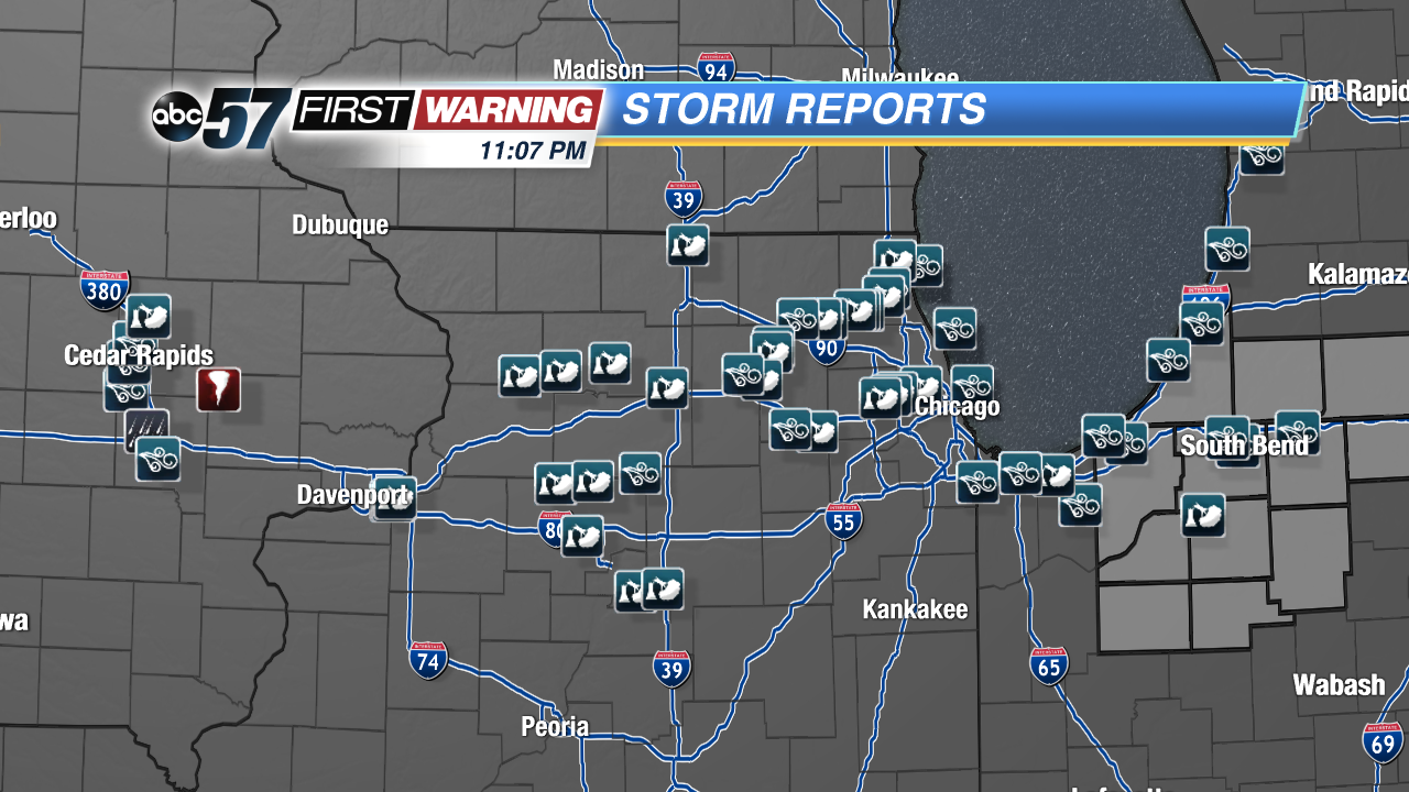
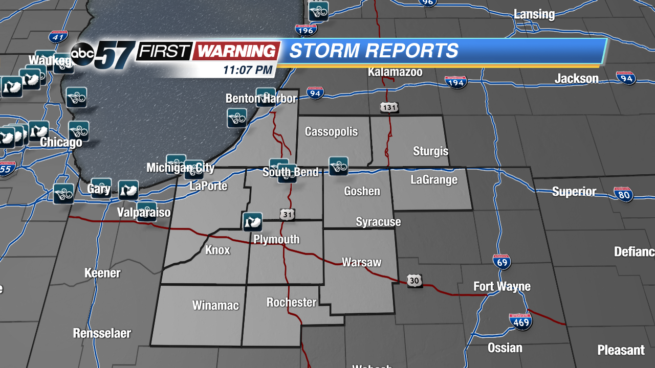
Severe storms plowed through Michiana after 8 PM Tuesday evening, with very heavy rain, a ton of lightning and strong winds.
Wind reports came in at 51 MPH in South Bend, 50 MPH in Simonton Lake, 48 MPH in Michigan City and 43 MPH in Benton Harbor. There was only one storm report of a tree that fell on a vacant car in Koontz Lake.
Damage was more widespread in Illinois and Iowa where the storms moved in during the peak heating hours of the day and were therefore stronger. Northern Illinois is dotted with wind reports, with one of 70 MPH in Huntley, McHenry County, and an estimated straight line wind gust of 90-100 MPH in Moline. Damage reports in Illinois included trees and power lines. In Iowa, a tornado touched down southeast of Cedar Rapids, damaging grain bins and corn, and more trees and power lines came down because of high wind.