
-
1:52

South Bend Common Council issues an official apology to residents...
-
0:54

Slightly cool out the door
-
1:54

Suspect identified, charged in fatal hit-and-run of Timothy Johnson
-
0:39

Prairie Street Cemetery works to clear storm damage
-
1:36

Reaching out for support gives father a second chance in life
-
2:08

St. Joseph County police investigating Bypass incident from Saturday...
-
2:07

Color guard coach charged with Sexual Misconduct with a Minor
-
1:09

Pleasant for the rest of today
-
0:52

Still raining out the door
-
1:17

The 80s return next week
-
1:22

Rain showers for the rest of the day
-
2:04

59th Annual Leeper Park Art Fair showcased more than 80 artists

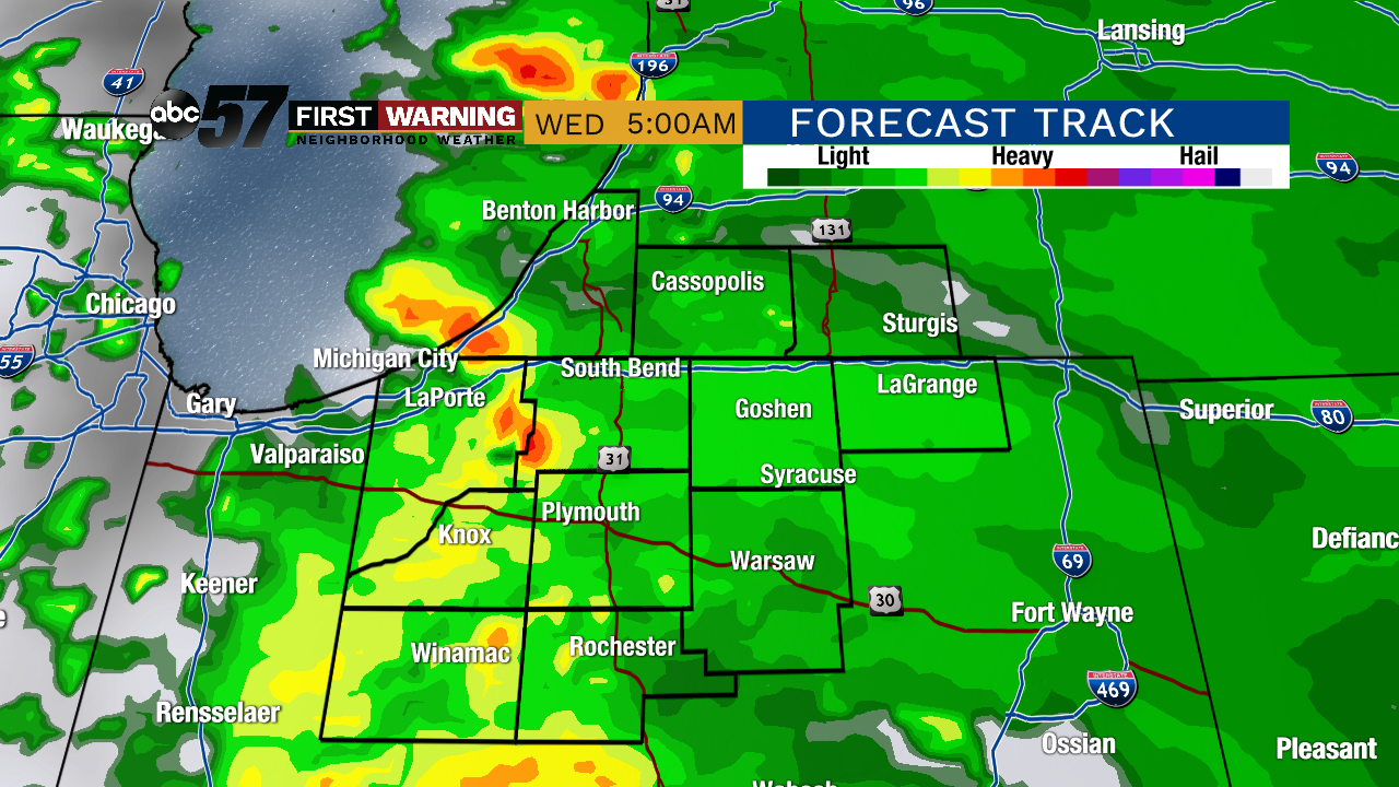
Another round of showers / storms overnight, much of the rain clear before sunrise Wednesday.
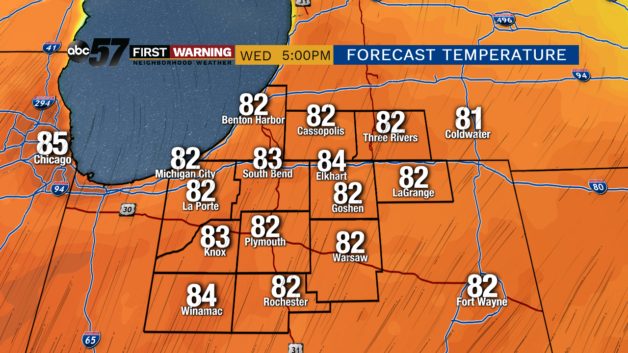
Warm weather returns starting Wednesday and temperatures surge as highs push to 80 by the afternoon and highs stay near 80 through the end of the week. The pattern stays active with at least a chance of rain every day, mostly in the morning through Friday. Scattered showers and storm may become more likely in the afternoon this weekend but overall a pretty standard summer-like pattern for the Memorial Day Weekend.
Tonight: Mostly cloudy with showers returning late. Low of 50.
Wednesday: Early morning showers/storms, then clearing. High of 80.
Thursday: Mostly cloudy with a chance of AM showers/storms, then clearing. High of 78.
Friday: Partly cloudy, high of 82.