



ABC 57 First Warning Neighborhood Weather
Thursday, May 14th, 2020
Scattered showers and storms move through this morning and then again this afternoon. The round in the afternoon could be strong and while the severe threat is low, it cannot be ruled out. We'll have a break in the action before another round of storms moves in late this evening. Again a couple of storms could be strong but the main threat will be heavy rain. Showers linger into Friday morning, otherwise clouds break up heading into the evening. Saturday starts out dry but there is a chance of rain after midday. A low pressure system makes it's way in, keeping Sunday soggy. Temperatures remain mild next week with a lot more sunshine.
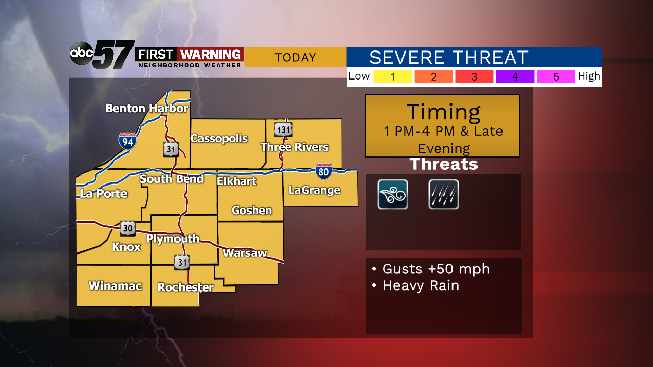
Today: Scattered thunderstorms. High of 72.
Tonight: Few thunderstorms. Low of 62.
Friday: AM showers then mostly to partly cloudy. High of 70.
Saturday: Mostly cloudy, PM showers possible. High of 72.