Besides a quick isolated shower, today will be partly cloudy with highs nearing 90 degrees. There are showers and storms possible tomorrow morning from a system that will be falling apart to our west, otherwise we heat up with clouds breaking up.
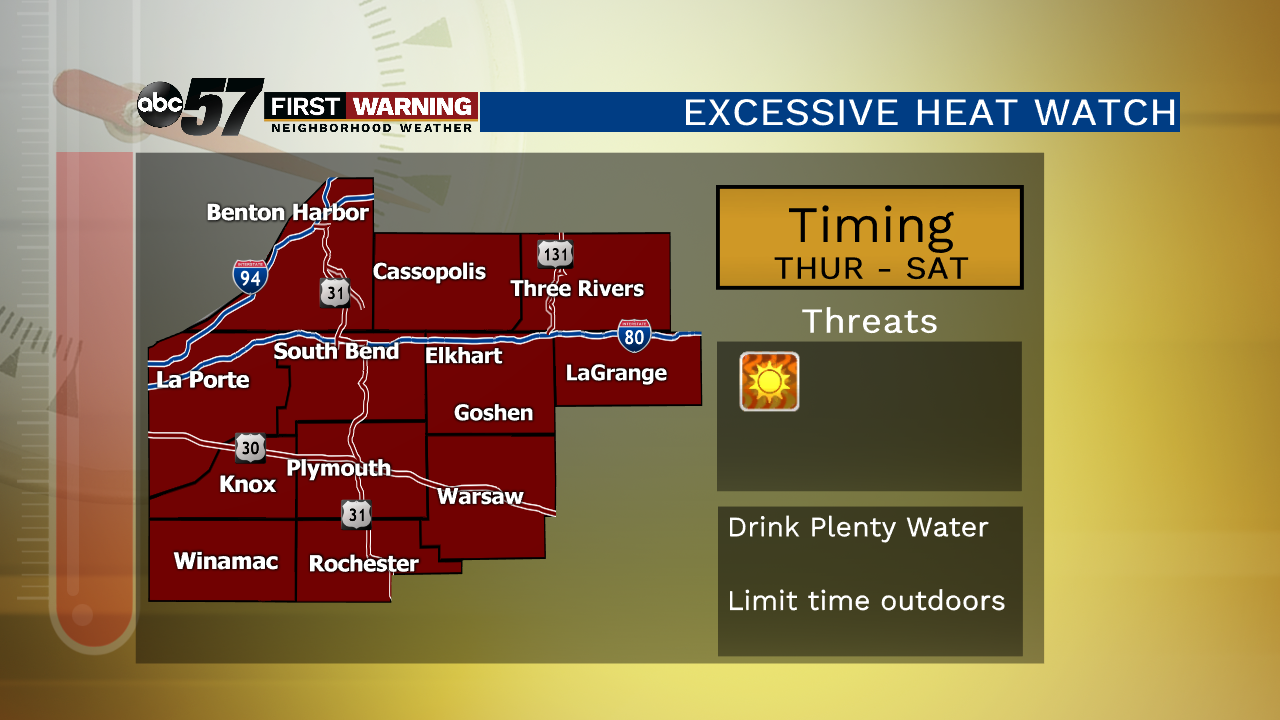
Thursday through Saturday, temperatures soar into the low to mid 90s! The tropical like humidity will push heat indices into the 105 to 110 degree range. This is dangerous heat; make sure you’re taking breaks from the heat and drinking plenty of water. Scattered showers and storms move in Sunday afternoon. This knocks down the heat and humidity for the new work week.
Today: Partly cloudy, slight chance of a shower, high of 90.
Tonight: Mostly to partly cloudy, low of 74.
Thursday: Hot and very humid, chance of morning storms, high of 93.
Friday: Extreme heat, mostly sunny, high of 95.