

-
2:58

Warsaw Community Schools welcomes students, faculty and staff...
-
1:31

The latest update on upcoming storms
-
2:30

The Notre Dame Running Back room embracing the underdog role
-
1:14

Mostly dry with a stray shower possible, Better storm chances...
-
2:56

New Concord athletic director discusses controversial past, goals...
-
2:14

CJ Carr’s confidence headline Day 2 of Notre Dame fall camp
-
2:42

Local mother calls on community to help find family keepsakes...
-
2:35

Police say social media posts about ICE in Benton Twp. are false
-
0:56

Mayor Mueller vetoes Bill No. 26-21 on trail proposal
-
2:09

Bentley Warren Classic connects NASCAR legends with future stars
-
2:42

Bristol council accepts Innovation Park withdrawal
-
1:33

Strong storms possible Sunday through Tuesday

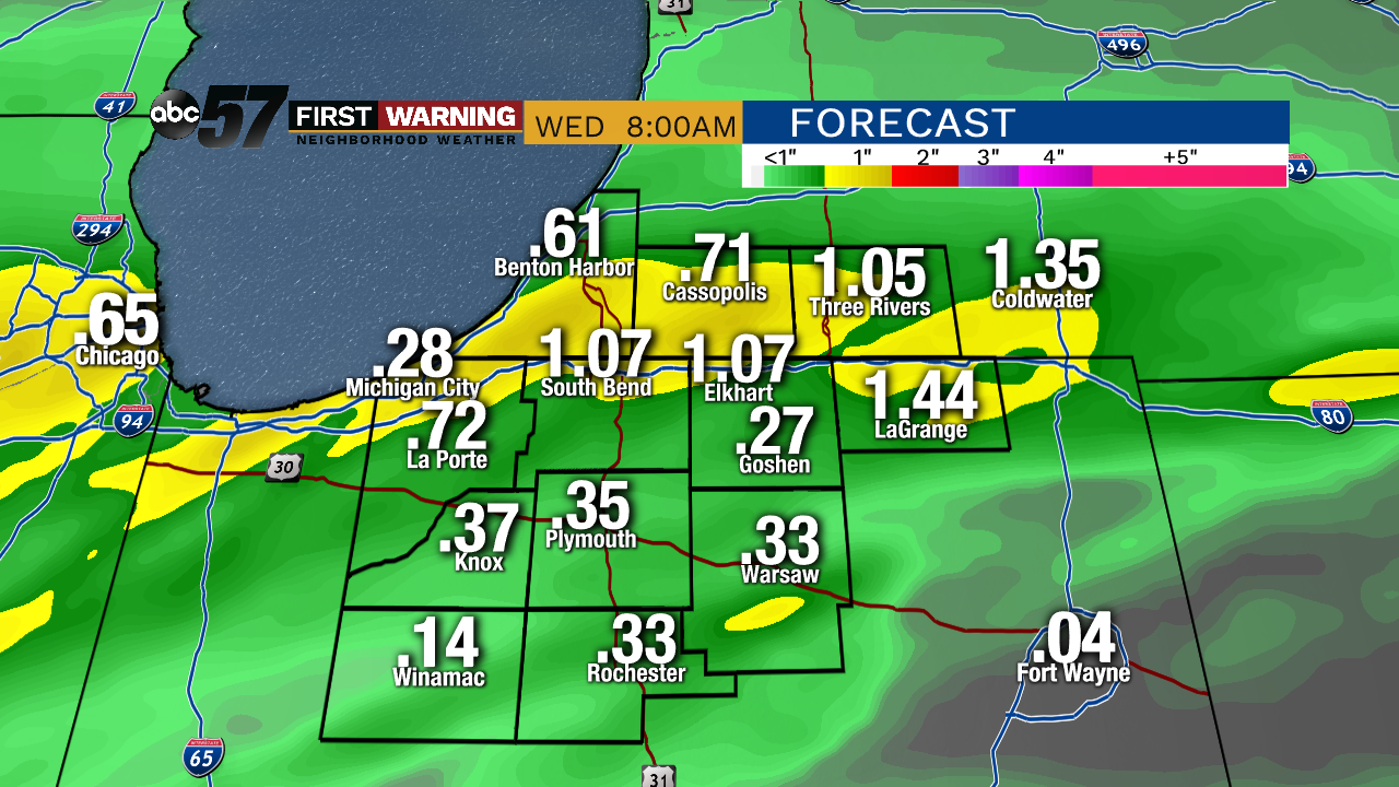
The wet pattern continues, another round of heavy rain is possible overnight with many seeing more than a half inch, plus localized heavy downpours.
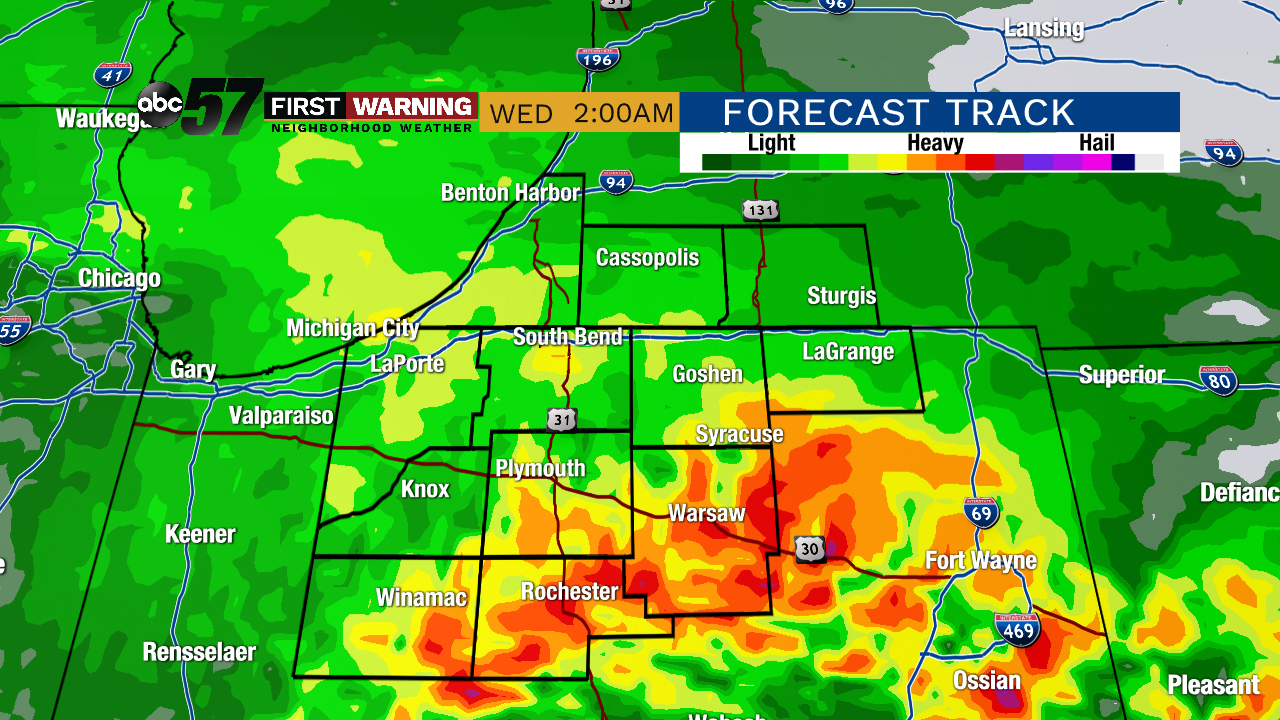
After a few morning showers Wednesday the rest of the day is mostly dry minus an isolated shower or storm in the afternoon. The chance of rain stays in the forecast through Thursday with more showers or storms. The trend moving into the weekend is drier, even with a chance of showers/storm on Saturday. Temperatures remain near to below normal with highs in the low 70s. The outlook for farmers and planting remains bleak but we could get lucky with drying over the next five to seven days.
Wednesday: Morning showers, mostly cloudy, high of 72..
Thursday: Mostly cloudy chance of showers/storms, high of 72.
Friday: Mostly sunny, high of 70.
Saturday: Mostly cloudy, chance of rain, high of 72.