-
2:48

Benton Harbor riverfront redevelopment plan nears final draft...
-
1:08

Elkhart City council unanimously advances a temporary moratorium
-
2:33

Groups descend on northwest Indiana to help with storm cleanup
-
3:01

Geothermal plant on Notre Dame’s campus introduces energy efficient...
-
2:52

Elkhart city council to consider data center proposal moratorium
-
3:01

Michiana counties continue storm cleanup efforts with federal...
-
2:08

Ignition Music Garage previews new self-titled Weezer album for...
-
2:48

Kyngstonn Viliamu-Asa returns to full-contact work as Notre Dame...
-
1:17

Drier to start week
-
0:49

Morning storms end a wet week
-
2:33

Photos and videos coming out of Milford community after FBI search...
-
2:09

Taste of Niles brings community members to taste local food and...

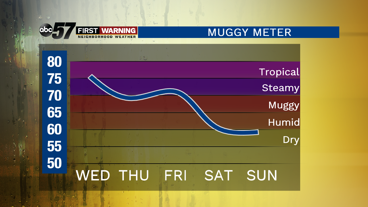
The active weather pattern continues. Plan on some sunshine during the day with a chance of isolated storms (especially south of US-30) this evening. It’s basically a copy and paste forecast for the 4th of July with storm chances further north in the evening. It is very warm and humid through Friday, so make sure you’re staying hydrated while celebrating the holiday outside.
Scattered showers and storms look more widespread for Friday as a cold front swing through the area. It will leave us brighter and more comfortable for the weekend!
Today: Partly to mostly cloudy, evening storms possible, high of 86.
Tonight: Chance of storms early, mostly to partly cloudy, low of 70.
Thursday: Partly cloudy, isolated evening storms possible, high of 88.
Friday: More clouds than sun, scattered thunderstorms, high of 88.