Isolated evening storms, otherwise drying out, hot and humid

-
2:51

Governor Whitmer appeals FEMA federal aid denial for Southwest...
-
3:17

Benton Harbor leaders weigh Jean Klock Park upgrades amid debate...
-
1:40

Pollinator Playpath, a trail for kids, now open at Corson Riverwoods...
-
0:32

Ryan Newman racing Saturday at Plymouth Motor Speedway
-
3:08

Officials recover body of missing teenager in Lake Michigan off...
-
2:45

NCAA’s new eligibility rule could reshape Notre Dame roster...
-
1:08

Storms start this afternoon
-
0:56

Calm morning, storms tonight
-
2:43

South Bend residents see future plans for former Drewry’s Brewery
-
2:45

Damage assessment continues in Elkhart County following EF-2...
-
0:44

Indiana and Illinois set record for tornadoes
-
1:27

Community Build underway at Kathryn Park

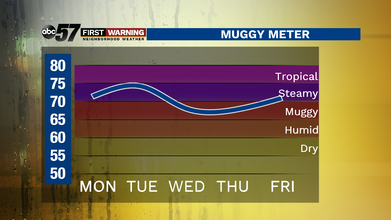
ABC57 First Warning Neighborhood Weather
Monday, June 29th, 2020
This week is hot and humid. Daytime highs climb into the upper 80s the next two days and then into the low 90s through the holiday weekend. Make sure you’re drinking plenty of water and taking breaks from the heat. Today there is a chance of isolated storms this evening and overnight. A shower or storm may linger into Tuesday morning, otherwise the rest of the day is dry with clouds breaking up. The rest of the week is sunny and dry. Due to the lack of rain, take extra precautions when lighting off fireworks.
Today: Partly sunny. Evening thunderstorm possible. High 88.
Tonight: Isolated storm, mostly cloudy. Low 72.
Tuesday: Early morning t-storm possible then partly cloudy. High 88.
Wednesday: Mix of sun and clouds. High 90.