Isolated showers and storms today


Passing showers and storms could move through the area Monday morning, but everyone will be mostly dry by lunch time. Another slight chance for a shower or storm comes back during the afternoon, mainly on the Indiana side. The 4th of July is looking dry again for most, with partly sunny skies and a slight chance of pop-up showers and storms in southwestern portion of the viewing area during the late afternoon. Any rain should taper off by 9 pm so firework shows should be good to go.
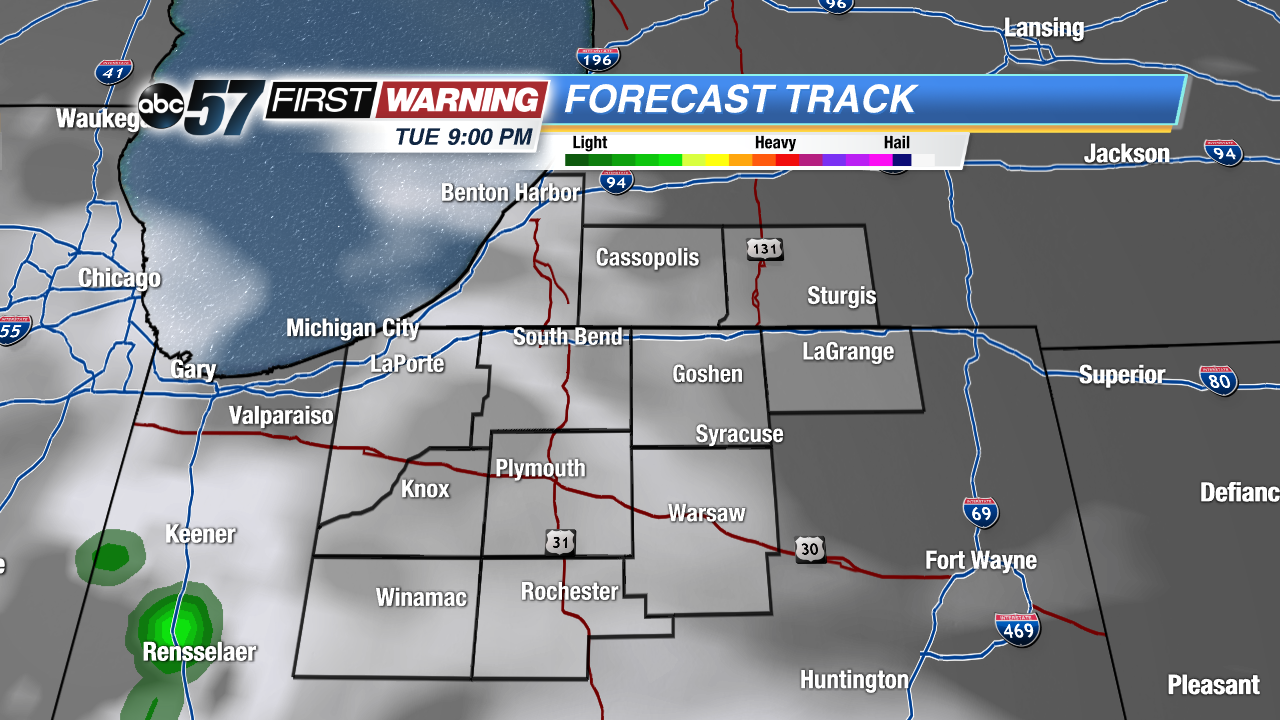 Everyone should be dry for fireworks Tuesday night
More organized storms roll in for Wednesday afternoon, into Wednesday night, as well as a good portion of Thursday. Scattered showers also can’t ruled out for Friday, but this upcoming weekend looks to be another dry and beautiful one.
Monday: Slight chances for showers and storms in the morning and late afternoon. Otherwise, partly sunny. High of 82.
Tonight: Partly cloudy with a slight chance of showers and storms along and south of Hwy 30. Low of 63.
Tuesday: Partly sunny with another slight chance of showers and storms in SW Michiana. High of 84.
Wednesday: Partly sunny with increasing storm chances in the afternoon. Highs around 83.