
Light snow tonight then focus turns to weekend system
By: Emily Kennedy
Posted: Mar 7, 2019 3:13 AM EDT

-
1:01

Summery Sunday
-
1:55

Bristol Homecoming Festival brings another year of family fun
-
0:57

Fairly average summer weekend
-
0:54

Mild morning setting up beautiful weekend
-
2:29

Kevin Ward Meyers was a man with a lengthy criminal record
-
1:02

Majestic Care of Goshen holds charity garage sale, with proceeds...
-
0:56

Elkhart School Board discusses transferring Osolo Elementary...
-
1:10

Detroit Pistons Youth Academy basketball camp wraps up Friday...
-
9:25

ABC57 breaks down what led to the shooting of an ISP trooper...
-
2:58

Backup diesel generators at AWS Data Center Campuses in New...
-
1:04

Hot next week, but not extreme
-
1:17

Quiet Friday overall, Fair weekend

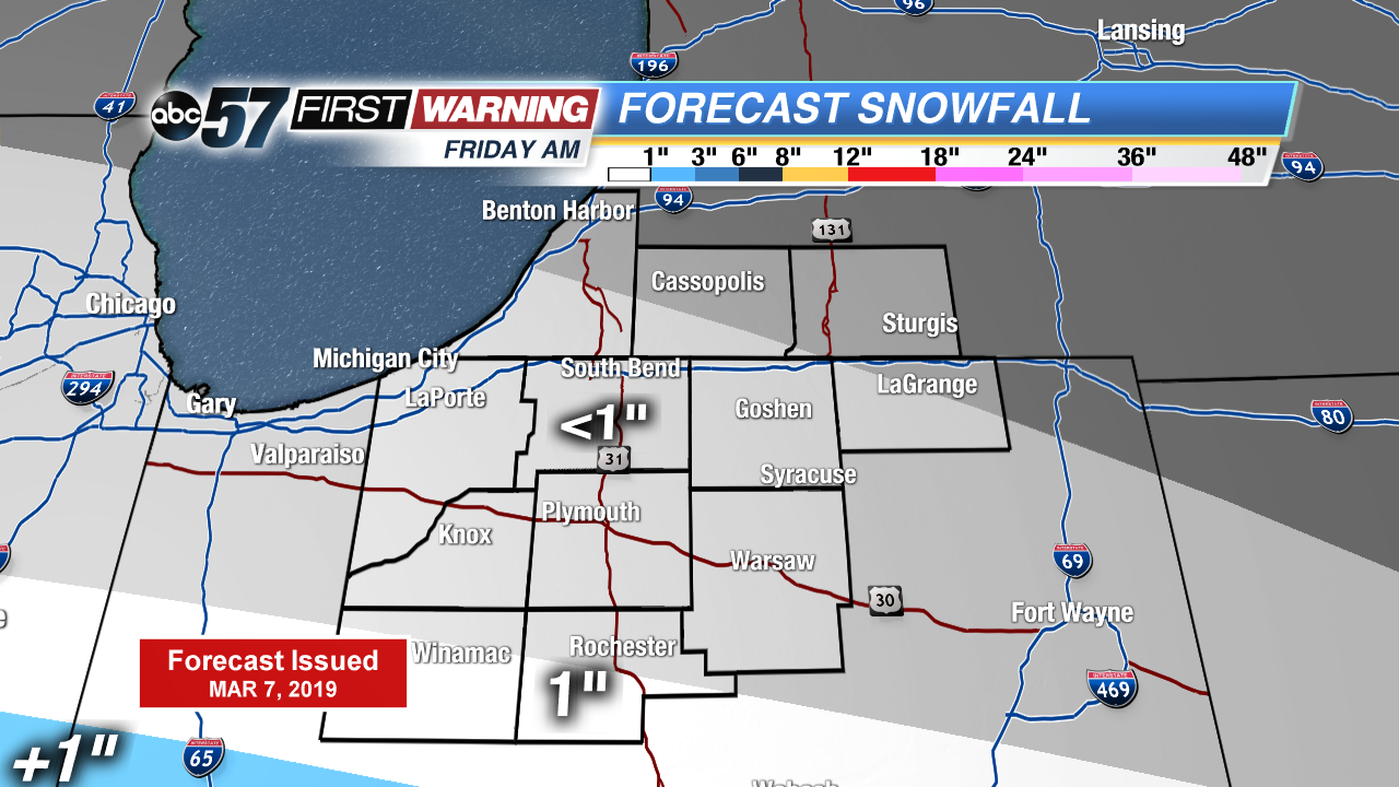
The next chance of snow is tonight into Friday morning. Little accumulation is expected. Otherwise temperatures continue to warm up into the weekend. A strong low pressure system brings us mainly rain late Saturday afternoon with possible rumbles of thunder. Strong gusts of wind could top 40 mph which could lead to isolated power outages. Daytime highs top out in the upper 40s but fall through Sunday.
Today: Partly cloudy turning mostly cloudy, high of 32.
Tonight: Light snow late, low of 24.
Friday: AM light snow, mostly cloudy, high of 40.
Saturday: Rain starts in the afternoon, breezy, high of 48.
Sign up for the ABC 57 Newsletter