
-
3:46

South Bend couple calls on Commissioners for help with flooding...
-
2:37

Marshall County Health Department rewarding students at immunization...
-
2:14

Heat is raising electricity bills, but learn how you can reduce...
-
2:25

South Bend Police Athletic League uses free summer sports camps...
-
3:15

Michigan Dark sky expert weighs in on light pollution as data...
-
3:23

Sunshine Protection Act could bring changes to Daylight Saving
-
2:25

South Bend businesses affected by construction
-
1:32

Widespread 90s start today
-
0:57

Warmer stepping out the door
-
3:52

Hyperscale CEO hears residents concerns over expanding Dowagiac...
-
0:50

City of South Bend addresses trouble some short-term rentals
-
1:56

Lake Michigan Hills celebrates its 66th annual Chamber Golf Outing

The weekend begins mild but will end cold and feeling more like January. Temperatures stay in the 40s Saturday, before dropping into the 30s Sunday. The chance of snow returns by Sunday afternoon with flurries, lake effect snow showers could bring accumulation by Monday. Next week is up-and-down with more significant cold by Groundhog Day.
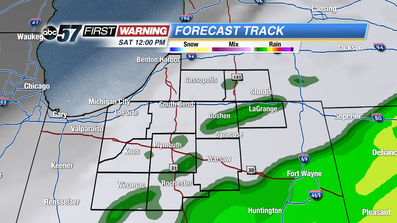 Any showers clear by midday Saturday
Tonight: Mostly cloudy, isolated showers, low of 42.
Saturday: Morning showers with early afternoon clearing, high of 48.
Sunday: Mostly cloudy, afternoon flurries, high of 36.
Monday: Lake effect snow showers, highs in the upper 20s.
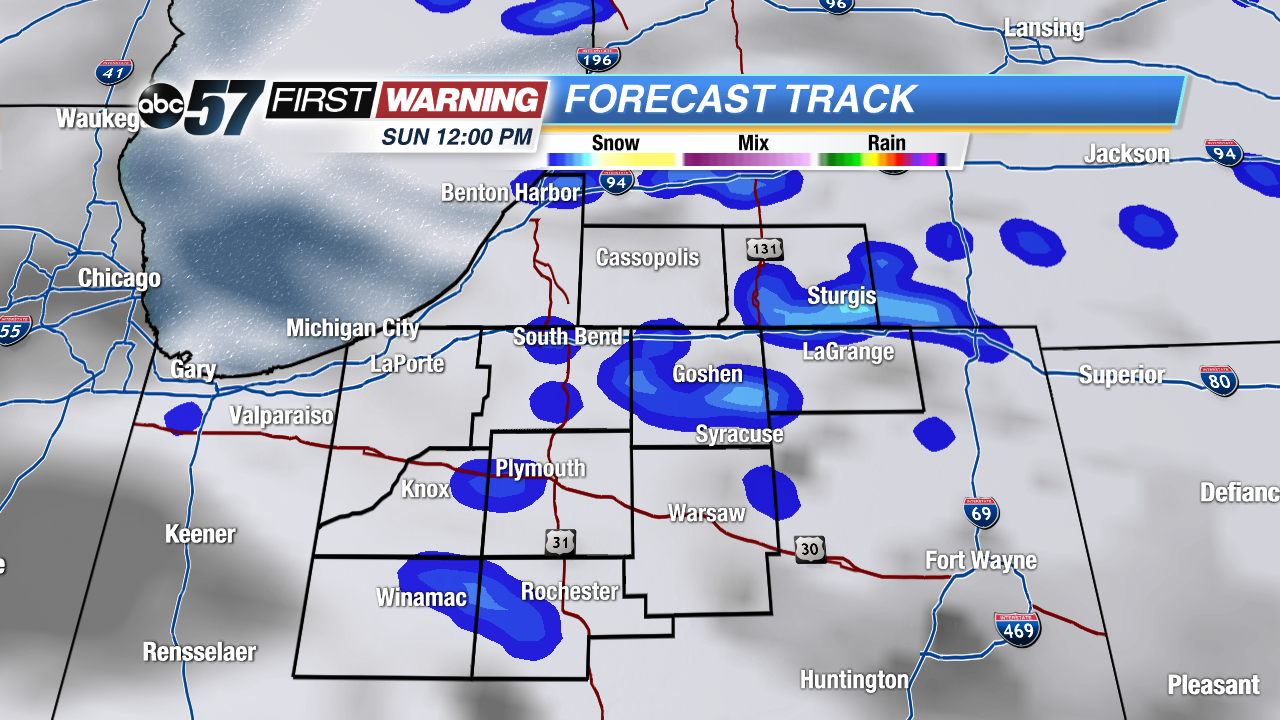 Chance of snow by Sunday afternoon.
Sign up for the ABC 57 Newsletter