
-
0:54

Slightly cool out the door
-
1:54

Suspect identified, charged in fatal hit-and-run of Timothy Johnson
-
0:39

Prairie Street Cemetery works to clear storm damage
-
1:36

Reaching out for support gives father a second chance in life
-
2:08

St. Joseph County police investigating Bypass incident from Saturday...
-
2:07

Color guard coach charged with Sexual Misconduct with a Minor
-
1:09

Pleasant for the rest of today
-
0:52

Still raining out the door
-
1:17

The 80s return next week
-
1:22

Rain showers for the rest of the day
-
2:04

59th Annual Leeper Park Art Fair showcased more than 80 artists
-
0:53

Parade of homes lets customers think about buying or updating...

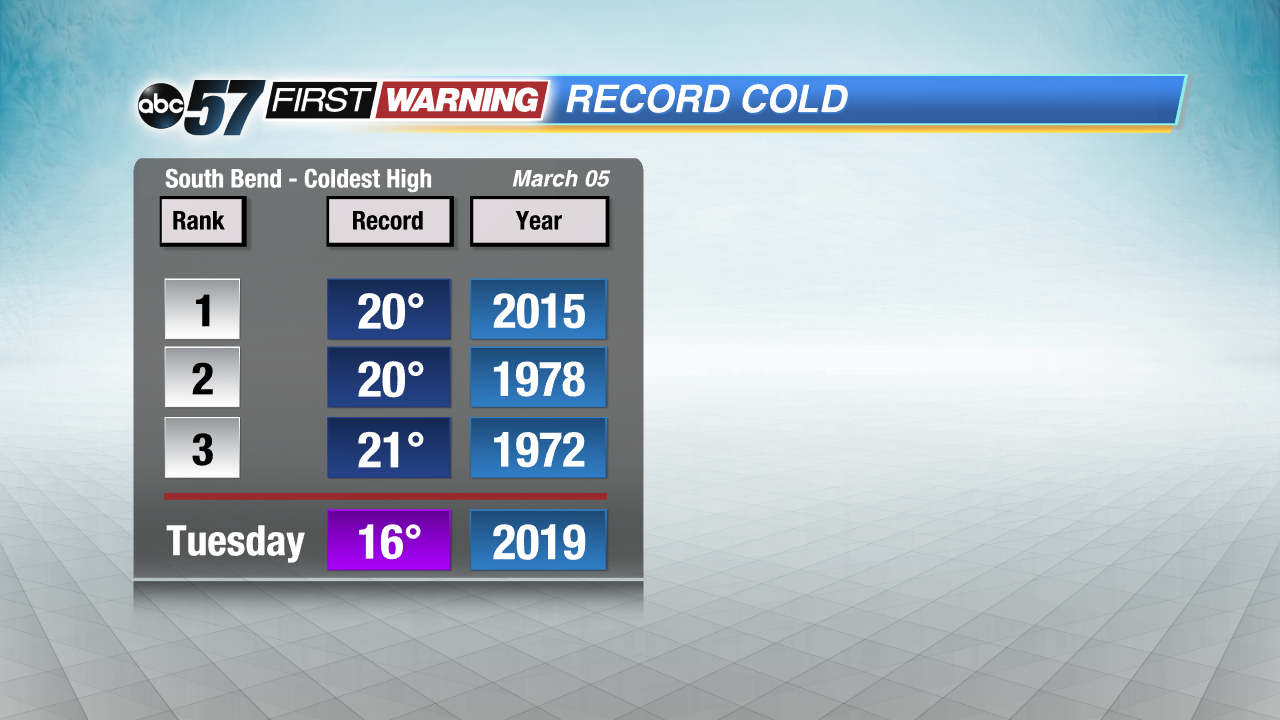
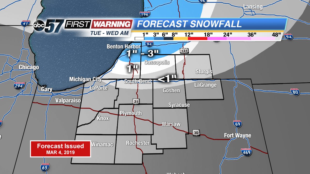
Record cold continues Tuesday along with lake effect snow showers. Highs in the teens would make for another coldest high for March 5th. Lake effect snow showers up to three inches possible north of the state line through Wednesday morning. Northern Indiana will see mostly flurries. There’s a slow warm-up the rest of the week. A very March-like weekend with highs in the 40s, rain and then snow Sunday into Monday.
Tonight: Partly cloudy, chance of snow, low 4.
Tuesday: Mostly cloudy, light snow showers, high of 16. Breezy.
Wednesday: Partly to mostly sunny, high of 24.
Thursday: Partly cloudy, high of 29.
Sign up for the ABC 57 Newsletter