Wednesday, January 15th, 2020
Areas of dense fog this morning could cause delays to your commute. Freezing fog is a possibility, so watch out for slick spots on the roads.
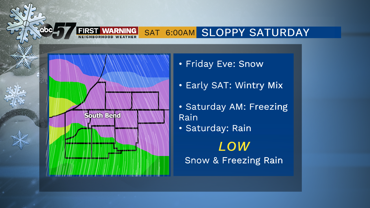
A system passes through quickly today, bringing a chance of light rain showers and colder air behind it. That may cause a couple of flurries overnight. We FINALLY see a sunnier day on Thursday before more clouds move in on Friday. The next system moves in late Friday, starting out at snow but it turns to a wintry mix into Saturday morning and then rain. The sharp drop in temperatures comes Sunday, behind the system. Lake effect snow will be possible with daytime highs only in the 20s.
Today: AM fog, cloudy, chance of light rain. High of 40.
Tonight: Flurries possible, mostly cloudy. Low of 25.
Thursday: Partly cloudy, breezy, colder. Temperature fall from 30.
Friday: Mostly cloudy, snow late. High of 30.
Saturday: Freezing rain early, then all rain. High of 40.