Possible record cold with light snow chances

-
0:55

Mild morning, setting up beautiful day
-
3:11

Residents raise concerns over proposed Midwest Continental Divide...
-
1:54

Present Pillars celebrates a fresh start
-
2:07

Michiana farmers will see harvest delays due to flooding
-
0:32

Roseland business closes its doors after suspected firework fire
-
4:46

Man living in Jewel Woods neighborhood, notorious for flooding,...
-
2:26

Large fire at South Bend church causes partial roof collapse
-
3:23

How seniors work to stay safe as A.I. scams are on the rise
-
1:06

Low chance for storms today
-
2:03

Center for Healing & Hope World Cup watch party
-
1:17

Pleasant weather returns next week
-
2:15

Elkhart donation drive fills truck with supplies for Venezuela...

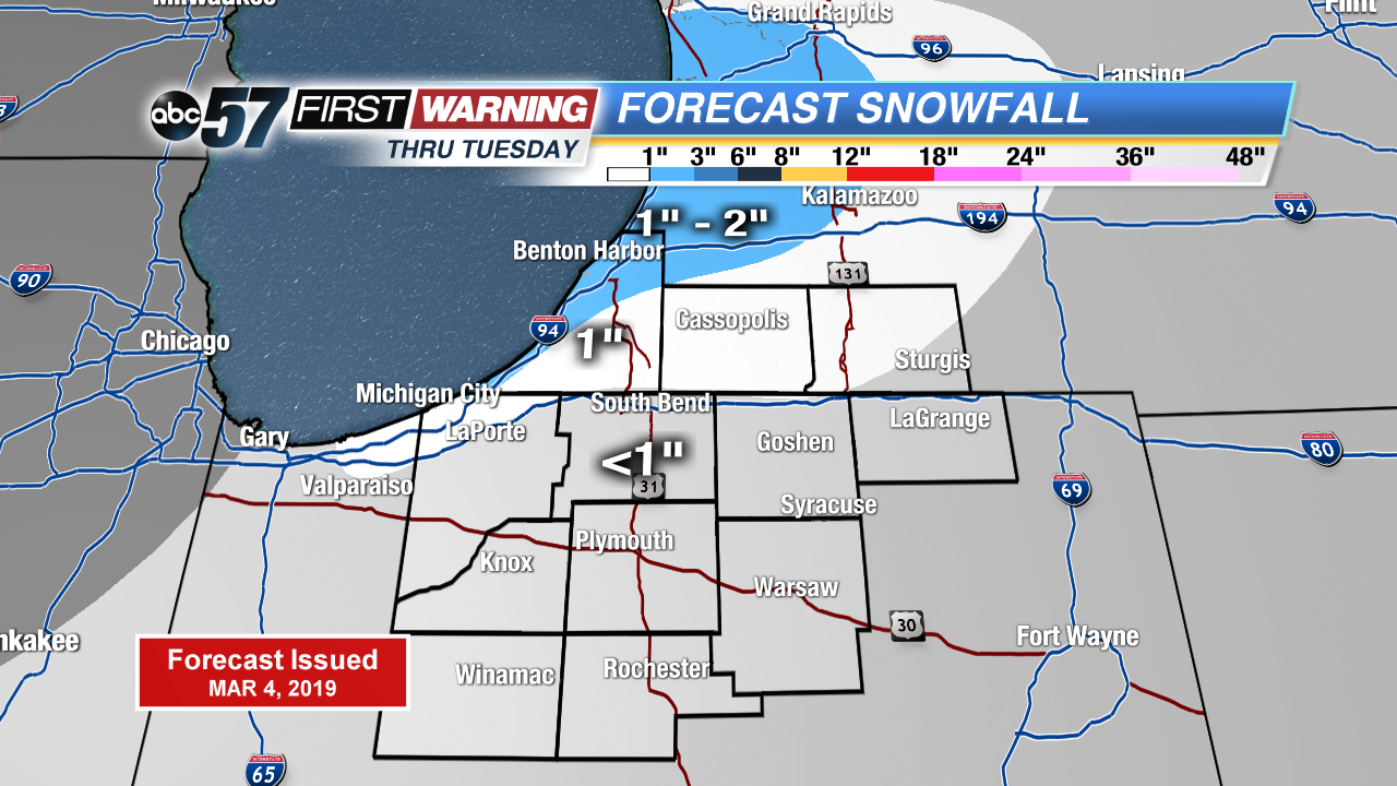
Bitter cold air has settled over the area, keeping daytime highs in the teens. Record coldest highs could be set today and tomorrow and breezy winds will make it feel even colder. Light lake effect snow is possible in Berrien and Cass counties today. A quick system will pass through tomorrow morning a few light lake effect showers to follow. An inch of less is possible for most. Sunshine comes our way midweek with temperatures warming into the weekend!
Tracking a few more systems to pass through Thursday evening into the weekend on ABC 57 News.
Today: Partly to mostly cloudy, flurries north, high of 15. Breezy.
Tonight: Mostly cloudy, flurries, low of 6.
Tuesday: Mostly cloudy, light snow showers, high of 17. Breezy.
Wednesday: Partly to mostly sunny, high of 26.