



Showers and a few downpours will continue this morning, but will start to fall apart by lunchtime and into the early afternoon. By kickoff at Notre Dame Stadium, we’ll be under mostly cloudy skies with highs near 70. But, the rain comes back into the area late Saturday night and throughout Sunday, adding to totals from yesterday and improving the drought concerns. The early work week looks dry again, very warm, and humid ahead of another storm system. With rain and storms sweeping through Tuesday night through Thursday, highs crash from the mid to upper 80s Tuesday into the 60s to end the week.
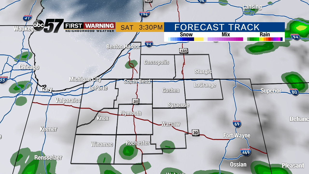 Potential radar picture by 3:30 PM. The Irish game should be dry!
Today: Cloudy with showers slowly ending this morning. Mostly cloudy and drier this afternoon. High of 70.
Tonight: Mostly cloudy with showers/storms arriving late. Low of 59.
Sunday: Mostly cloudy with scattered showers and storms possible throughout the day. High of 72.
Monday: Mostly cloudy early with leftover showers, then decreasing clouds. High of 86.