
Rainy days and Mondays: active weather returns tomorrow night



Tonight will be partly cloudy. Temperatures will fall through the 50s this evening before dropping into the middle 40s overnight.
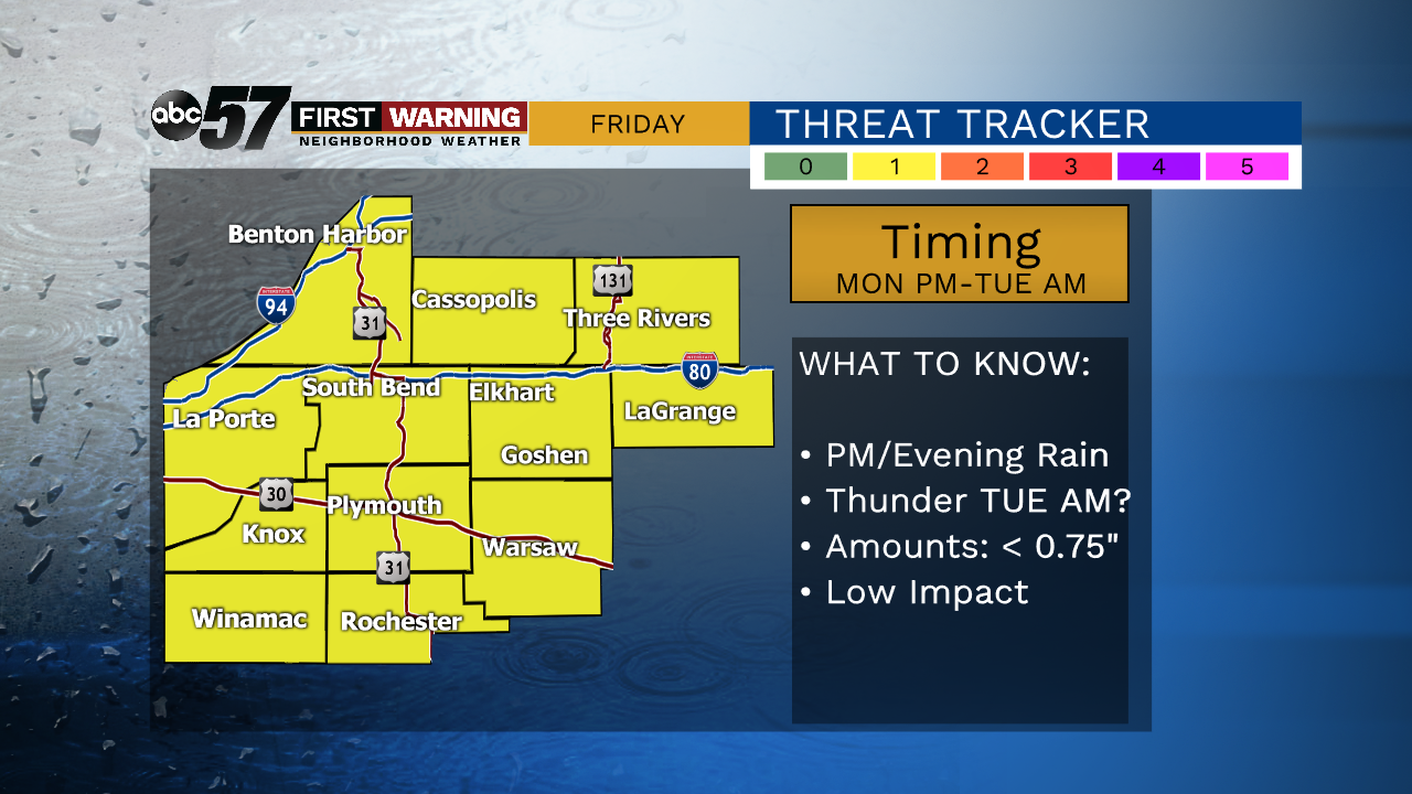
Rain moves in Monday afternoon as temperatures remain mild. Highs will reach the upper 50s. A steady rain will last through Monday night and linger into Tuesday morning. Temperatures will be a bit cooler for the middle of the week, with highs in the middle 40s on Tuesday and Wednesday. A few snowflakes could try and mix in with rain showers early Wednesday morning before changing back to just rain. Highs will return to the 50s on Thursday with a chance of night showers. Our most likely dry day this week appears to be Friday, with highs near 50.
Tonight: Partly cloudy. Low 45.
Monday: Afternoon rain develops. Breezy. High of 57.
Tuesday: Rain showers in the morning, then mostly cloudy and cooler. High 44.
Wednesday: A few rain/snow showers in the morning, then rain showers possible during the afternoon. High 46.