



Loud t-storms continue for southern Michiana this morning, packing heavy rain, strong wind, and small hail. Those will fizzle some throughout the morning, but storms over Missouri and Iowa this morning will start to move in for the early afternoon hours. Some stronger storms are possible with that batch as well. The active pattern continues with more rounds of rain possible Sunday, but a brief break is possible Monday as highs slowly build through the early portions of the work week.
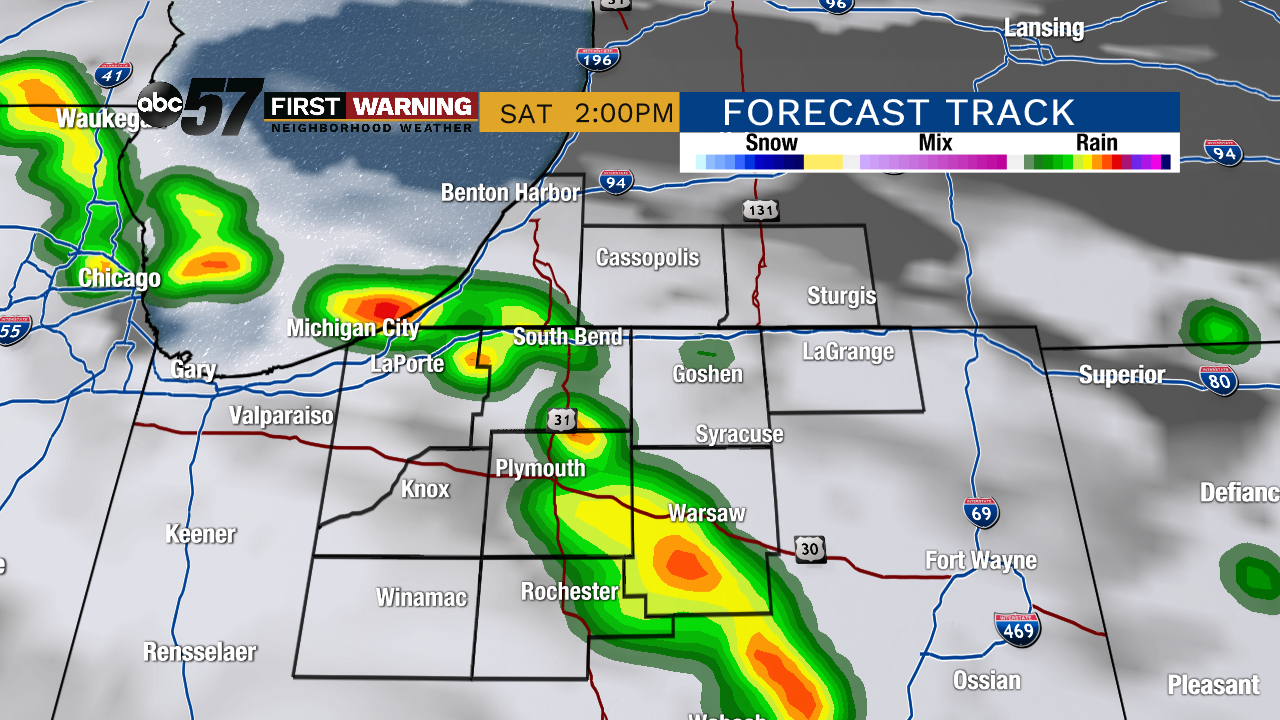 The next wave of showers and storms could arrive during the midday and early afternoon today.
Today: Mostly cloudy with scattered showers and storms. High of 82.
Tonight: Mostly cloudy with a chance of scattered storms. Low of 68.
Sunday: Mostly cloudy. Scattered showers/storms likely. High of 86.
Monday: Mostly cloudy to partly sunny. Slight chance of a shower. Warm with highs in the upper 80s.