



Scattered showers and a few storms are possible tonight, with more storms up towards the north and west tomorrow. The cold front will slowly push through Michiana late Sunday into early Monday, allowing for the best chance for widespread rain and storms. Heavy rainfall and some gusty wind will be possible during this time as well. For the work week, highs cool down for the 1st day of Fall on Monday as we dry out as well. Another warm-up towards the low 80s looks possible by next weekend.
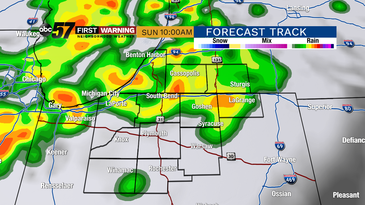 Potential radar image by Sunday at 10 AM
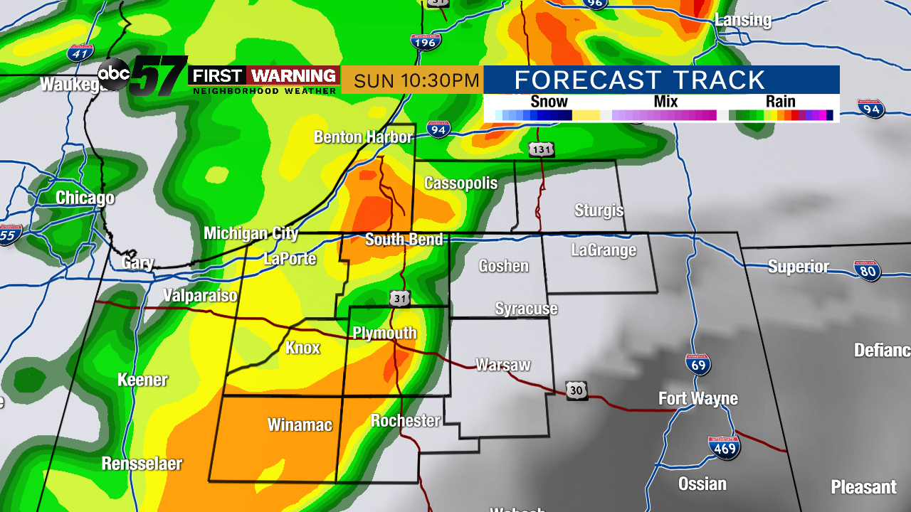 Potential radar image by Sunday at 10:30 PM
Tonight: Mostly cloudy with scattered showers/storms possible. Low of 68.
Sunday: Showers and storms likely with heavy rain possible, especially to the north and west. Breezy. High of 78.
Monday: Slight chance of a leftover AM shower, then decreasing clouds. High of 70.
Tuesday: Mostly to partly sunny. Highs in the mid-70s.