Severe weather threat today, more storms possible Saturday


ABC57 First Warning Neighborhood Weather
Friday, June 26th, 2020
Thunderstorms roll through early this afternoon. Clouds then break up before then next round of storms moves in this evening. Storms this evening could be severe. Damaging wind gusts and heavy rain are the main threats but hail and a small tornado cannot be ruled out.
Scattered showers and storms then continue into Saturday morning, wrapping up by mid-afternoon. Most of Sunday is dry with just an isolated storm possible. Both the heat and humidity build in starting today. The hot weather lasts through next week into the holiday weekend.
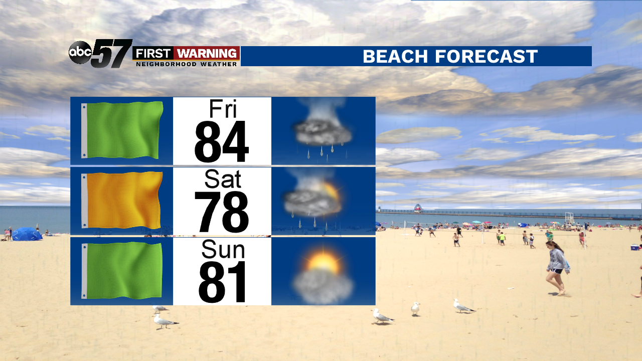
Today: Isolated afternoon storm then partly cloudy. Scattered storms (some severe) in the evening. High 88.
Tonight: Scattered storms. Low 70.
Saturday: Thunderstorms likely, especially in the morning. High 83.
Sunday: Partly cloudy with a stray storm possible. High 85.