

-
2:42

Bristol council accepts Innovation Park withdrawal
-
1:33

Strong storms possible Sunday through Tuesday
-
2:06

Leonard Moore shines as Notre Dame defense opens fall camp ahead...
-
2:27

Offensive position battles heat up as Notre Dame opens fall camp
-
1:05

Potawatomi Zoo brings back Branch to Browse program
-
1:45

Berrien Community Foundation gearing up for the school year
-
1:18

Showers taper off this evening, Spotty storms this weekend
-
2:33

City of South Bend receives more than 14 million dollars for...
-
1:44

School City of Mishawaka considers up to 7 million bond to fund...
-
1:00

Former Indianapolis Mayor Greg Ballard enters as new candidate...
-
1:10

Christ Child Society Clothing Center opens doors for the season
-
2:08

New Prairie High School First Day well underway with New Phone...

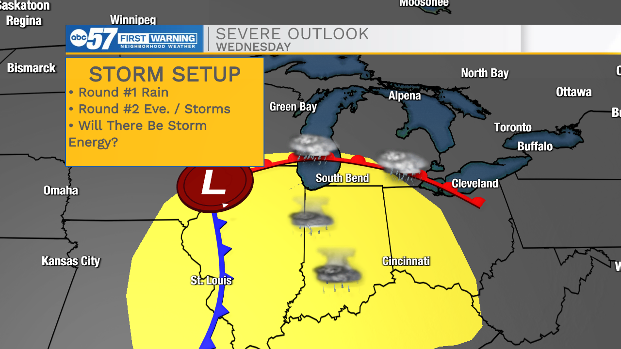
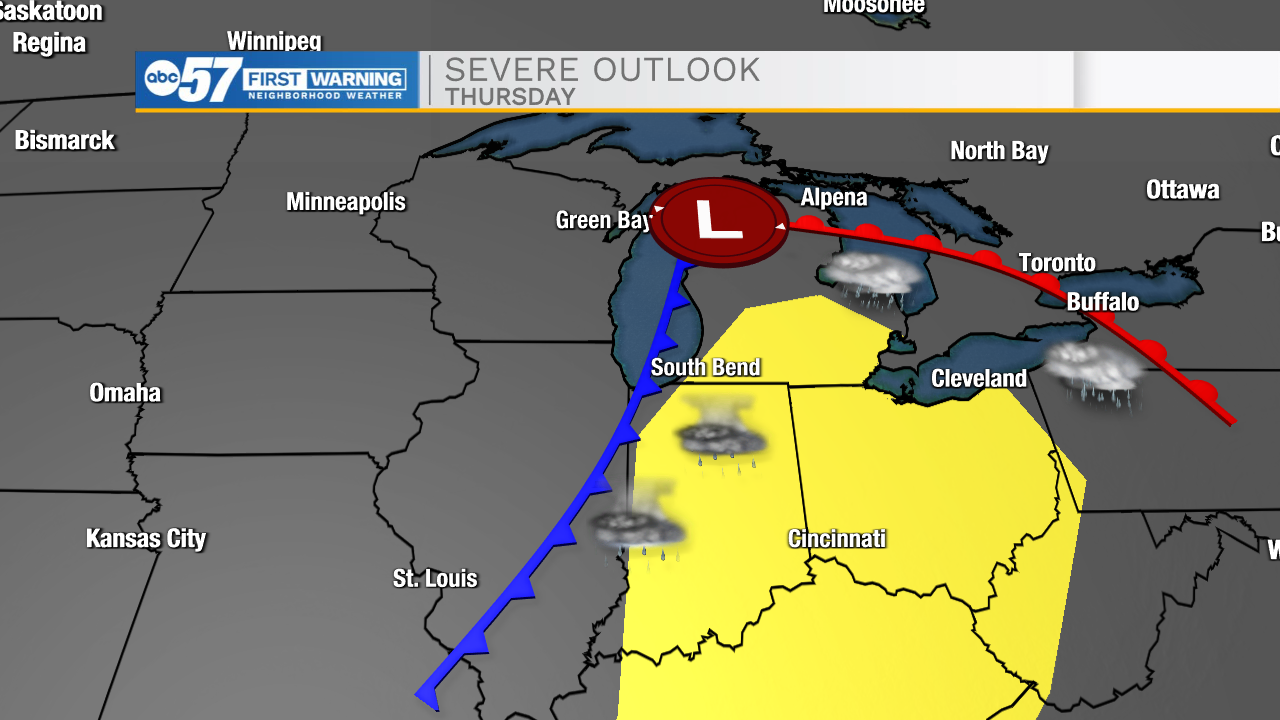
Rounds of showers and thunderstorms midweek. The first round of rain arrives by late morning Wednesday, with the warm front. Temperatures and the humidity rise through the afternoon, then scattered storms are possible Wednesday evening. The severe threat is low, but not zero with the evening storms. The same goes for another round of storms Thursday afternoon/evening as the cold front approaches. Models differ greatly on Friday, some say rain others just clouds, right now leaning towards a cool, cloudy day. The Memorial Day weekend is warm and dry.
Tonight: Mostly cloudy. Low 56.
Wednesday: Showers and thunderstorms. High 76.
Thursday: Showers and thunderstorms. High 74.
Friday: Mostly cloudy. High 68.
Sign up for the ABC 57 Newsletter