
Temperatures swing warming Tuesday, before more snow and cold
By:
Tom Coomes
Posted: Jan 17, 2022 7:12 PM EDT

-
2:34

Very Unhealthy Air in Michiana
-
2:45

Answering sun protection questions
-
1:47

Hot and smoky today
-
2:07

Locals have big visions for new skatepark in St. Joseph
-
2:29

Elkhart County residents still waiting for repair help a month...
-
2:58

Disability parking placards now available for autism caregivers
-
1:13

Sinkhole develops on the Southwest side of South Bend
-
3:13

Local restaurants taking extra precautions to try and keep Cyclosporiasis...
-
3:39

World Series of Baton Twirling returns to Notre Dame, bringing...
-
2:37

Historic State Theater project awarded millions of dollars towards...
-
2:05

Building Nicholas Stanley’s defense in the final weeks before...
-
2:03

Fatal June officer-involved shooting of Jujuan Bates deemed justified,...

** Slick roads remain a concern through Monday night **
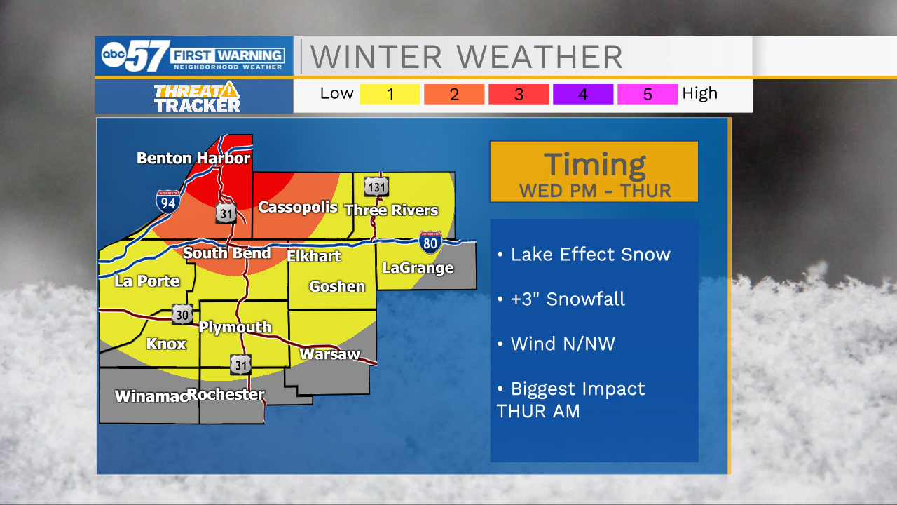
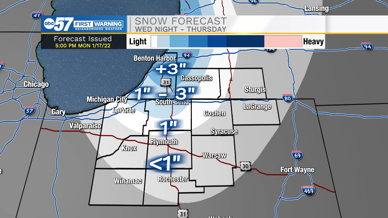
Tuesday, temperatures warm above freezing, clearing any ice from the roads. Temperatures fall quickly again Wednesday, and lake effect snow ramps-up Wednesday night into Thursday. The snow belt from Benton Harbor to South Bend likely sees more than three inches of accumulation, in not more. The cold will last through the weekend and next week. There's no major storm but, a few rounds of lake effect through next Wednesday could add-up.
Tonight: Cloudy. Low 22.
Tuesday: Mostly cloudy and breezy. High 38.
Wednesday: Temperatures fall from 34. Lake effect snow by the evening.
Thursday: Lake effect snow showers. High 20.
Sign up for the ABC 57 Newsletter