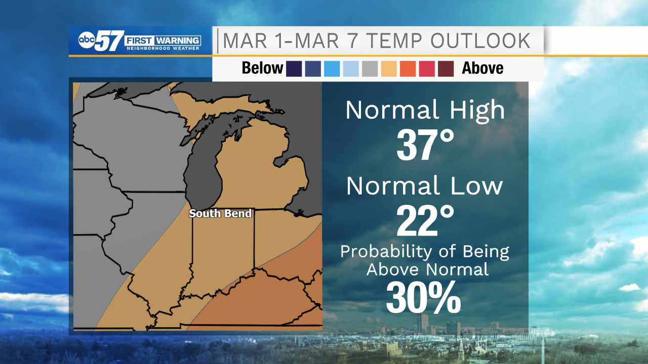
Tracking milder days and more sunshine

-
2:51

Black Lives Matter South Bend puts Reparatory Justice petition...
-
1:34

Community gathers for American Red Cross blood drive for South...
-
0:58

New and improved Byers Softball Complex will host Men’s Major...
-
1:37

Early signs of strong storms on Monday
-
1:16

Pleasant beach weather through Saturday
-
1:49

Flavors of India expansion brings fusion to Michiana
-
1:05

Cool Thursday morning, Mild by Afternoon
-
4:09

St. Joseph County launches external investigation into planning...
-
2:24

Michigan Republican Primary candidates take on data centers at...
-
1:01

Notre Dame Men’s Basketball Coach Farrelly talks team building
-
3:08

Michigan City Police Department responds to Common Council’s...
-
2:44

St. Joseph County Board of Commissioner’s announce independent...

ABC57 First Warning Neighborhood Weather Forecast
Monday, February 22nd, 2021
After a wintry mix overnight, roads could be slick in spots early this morning. Otherwise, rather cloudy skies with temperatures falling near 30F this afternoon. Clouds break up Tuesday with daytime topping out at 40 degrees! We will be watching for potential fog development Tuesday night from the mix of all the melting snow and calming winds.
A mix of sun and clouds is expected for the remainder of the week pending fog in the mornings. Daytime highs will remain in the upper 30s through Friday and then taking another shot at 40F this weekend. There is a wintry mix possible Saturday morning, otherwise a pretty quiet week.
Today: Cloudy. High 36.
Tonight: Mostly cloudy. Low 32.
Tuesday: Partly cloudy. High 40.
Wednesday: Partly cloudy. High 38.