



Tuesday, June 9th, 2020
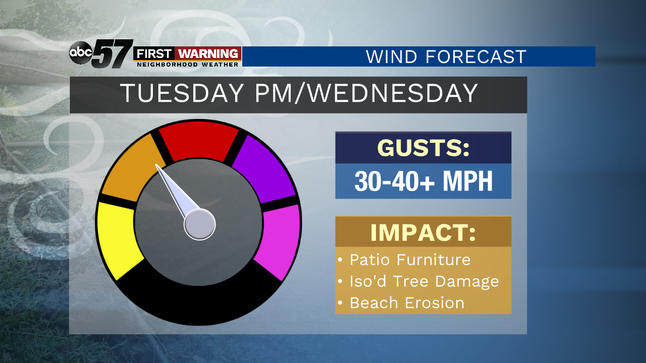
Temperatures continue to rise today, topping out near 90 with humidity making it feel sticky. All of that heat and humidity arrives as Tropical Depression Cristobal moves into the region. Storms from this system develop during the late afternoon to evening. Isolated severe storms will be possible with the threat of damaging wind, heavy rain and isolated tornadoes. The scattered rain and thunder will continue into Wednesday morning with windy conditions. Wind gusts of 40 mph will be possible Tuesday night into Wednesday.
It starts to quiet down Thursday with more sunshine and comfortable temperatures. That will be the beginning of another stretch of sunshine into the middle of next week.
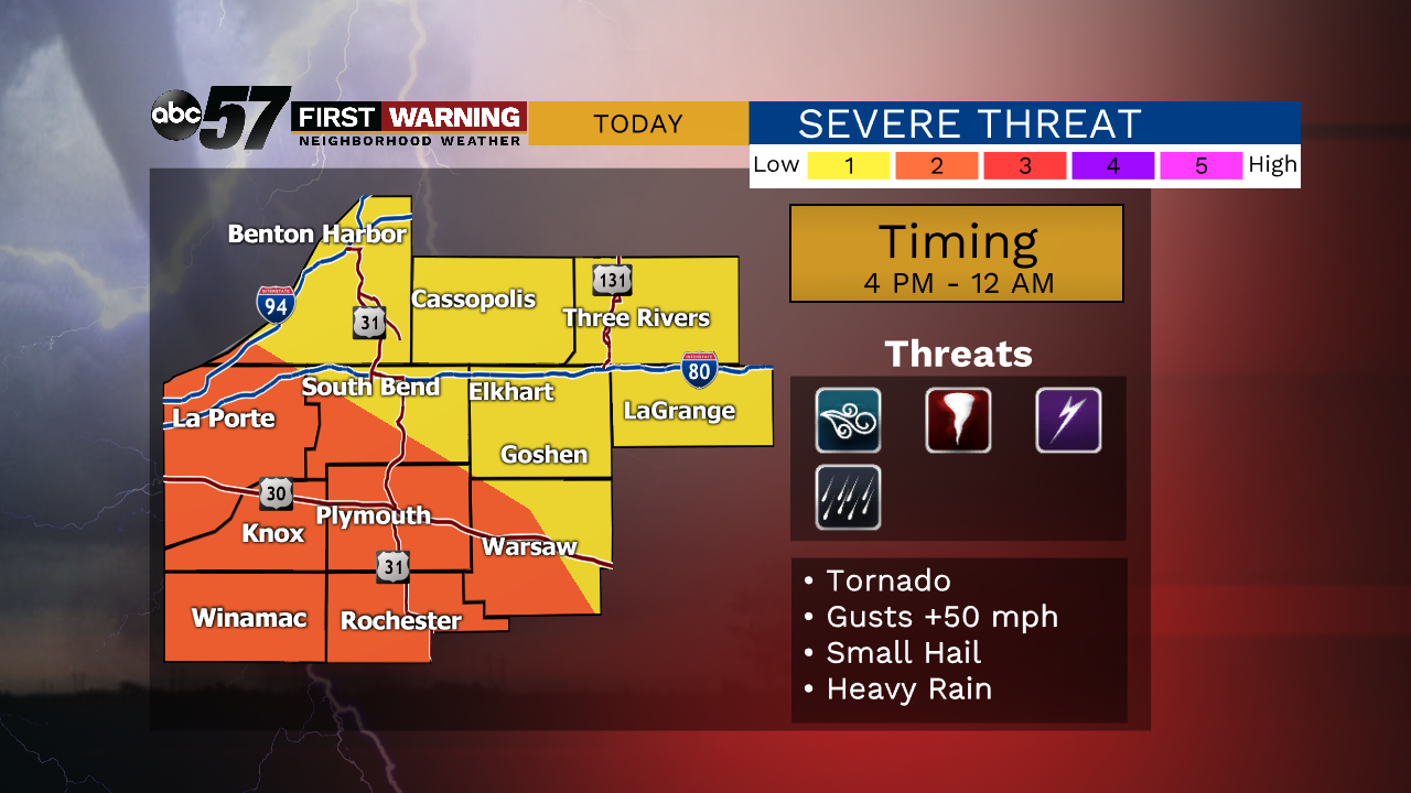
Today: Increasing clouds, PM storms, severe possible. High 90. Humid.
Tonight: Scattered showers and storms. Low 72.
Wednesday:Morning/midday scattered rain, windy. High 80.
Thursday: Mostly sunny. High 76.