
Wet week continues, heavy rain and flood threat into Wednesday



Heavy rain tonight is likely with one to two inches possible by Wednesday morning. The greatest concern are for areas under the Flash Flood Watch through Wednesday morning.
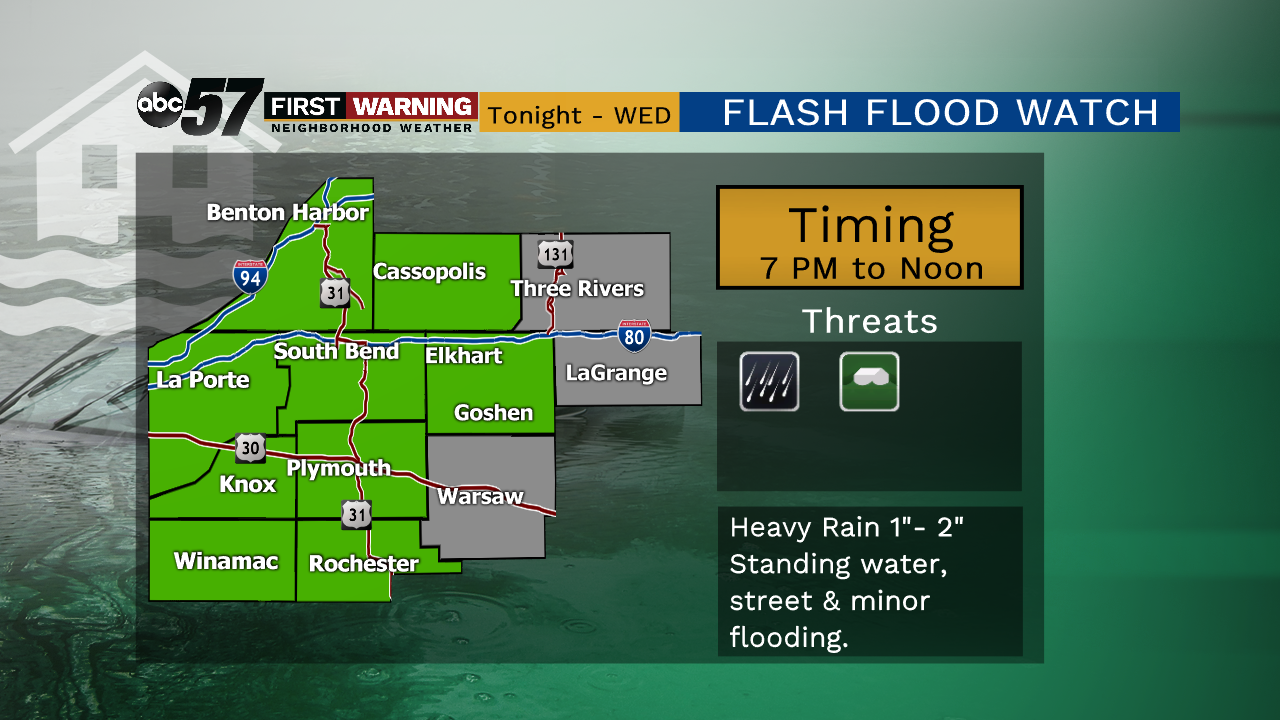
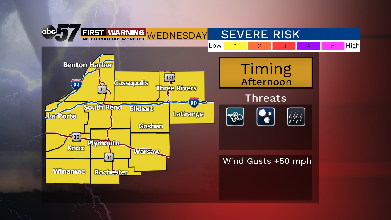
Rain clearing Wednesday morning and the rest of the day is not as wet. Showers and storms could develop by late afternoon, as temperatures warm into the 70s, a few storms could be on the strong side. There’s more widespread rain in the forecast Thursday. This could bring our weekly rain totals to the three to four inch mark before we get a break with drier weather this weekend. Standing water, rising rivers and minor flooding remain a risk.
Tonight: Heavy rain, thunder possible, low of 50.
Wednesday: Partly to mostly cloudy with a chance of afternoon storms, high of 70.
Thursday: Rain showers, high of 66.
Friday: Partly cloudy, high of 60.