UPDATE: Stormy start to Friday
By:
Tom Coomes
Posted: Aug 16, 2018 4:27 PM EDT | Updated: Aug 16, 2018 10:48 PM EDT

-
2:11

This week’s ABC57 Cub Reporter is Lucas Castillo
-
2:28

Local landscaper turns heads with his manicured lawns and young...
-
4:52

U.S. senators representing Michiana work to ban government officials...
-
5:04

Family, friends, and South Bend community members mourn beloved...
-
5:25

Exclusive look inside Angels in the Attic operations and their...
-
0:49

INDOT makes public presentation to residents of Middlebury about...
-
2:53

Friendly poodle brings smiles, alleviate stress at the Ivy Tech...
-
1:05

Notre Dame’s Comfort K9 program is breaking down barriers,...
-
2:23

Notre Dame softball rallies past DePaul in regular-season finale
-
3:04

Berrien County community asks sheriff to withdraw from partnership...
-
3:33

Notre Dame alum crucial part of Artemis II mission
-
1:55

The UAE is leaving OPEC soon, here’s why

UPDATE: A line of storms moving across northern Illinois will slowly weaken overnight but could still bring heavy rain and thunder to Michiana by Friday morning. The system slowly clears through the rest of the day.
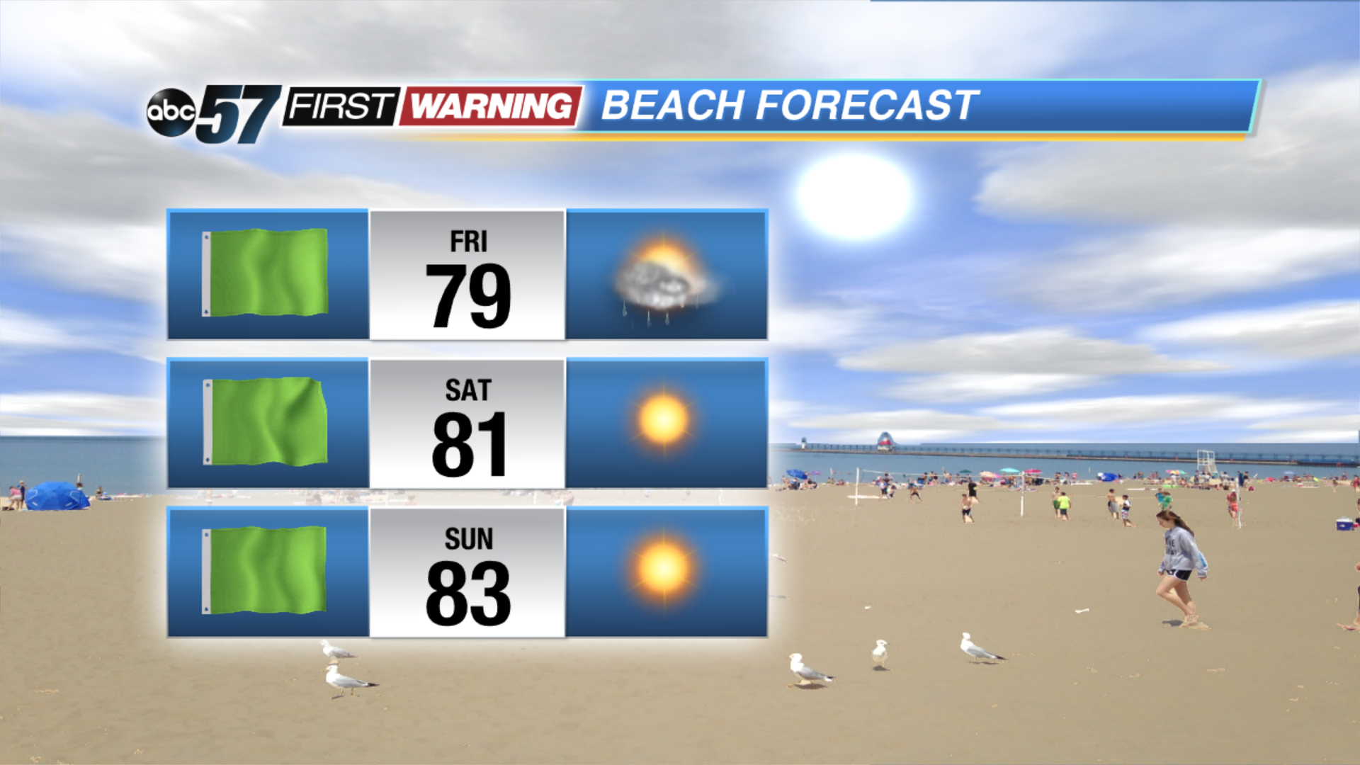
The clouds and light rain showers slowly clear to end the week. Skies continue to clear Friday night, then warm and sunny weather returns for the weekend. The next round of showers and storms arrives Monday night into Tuesday. Milder temps return for the middle of next week.
Tonight: Mostly cloudy, chance of showers, low of 68.
Friday: Mostly to partly cloudy, isolated showers, high of 78.
Saturday: Mostly sunny, high of 82.
Sunday: Sunny, high of 84.
Sign up for the ABC 57 Newsletter