Storms this afternoon - strong wind and heavy rain possible
By: Emily Kennedy
Posted: Jul 15, 2021 3:30 AM EDT

-
3:45

Two children taken to Emergency Room after exposure to chemicals...
-
2:20

Penn, Mishawaka meet for sectional title with regional berth...
-
3:23

New Day Intake Center is nearing construction eight months after...
-
2:55

Nearby homeowners express frustrations with Elkhart drivers going...
-
3:41

A Goshen family pushes to grow their family
-
2:01

Chunk’s Ice Cream gets ready to celebrate its second anniversary
-
2:22

Bluegrass Festival celebrates local artists in Niles
-
0:51

PokeDen updates its space for a shop like experience
-
1:00

Another pleasant day for our area
-
1:00

Slightly cooler out the door today
-
1:03

Mentone Egg festival brings a clutch of people to enjoy its history
-
0:46

9th annual Hall of Heroes Comic Con concludes its first day

ABC57 First Warning Neighborhood Weather Forecast
Thursday, July 15th, 2021
Today starts out with partly cloudy skies but clouds will increase through the afternoon. There is a chance for a couple of showers to clip Berrien co early. Most of the storms move in this afternoon and could be strong with gusty wind and heavy rain. The scattered storms continue on and off through Friday. Both days, heavy rain will be the biggest threat as it could lead to localized flooding once again. Despite a lingering shower Saturday morning, it's nice and dry over the weekend and through much of next week!
Today: PM Thunderstorms. High 83.
Tonight: Scattered thunderstorms. Low 66.
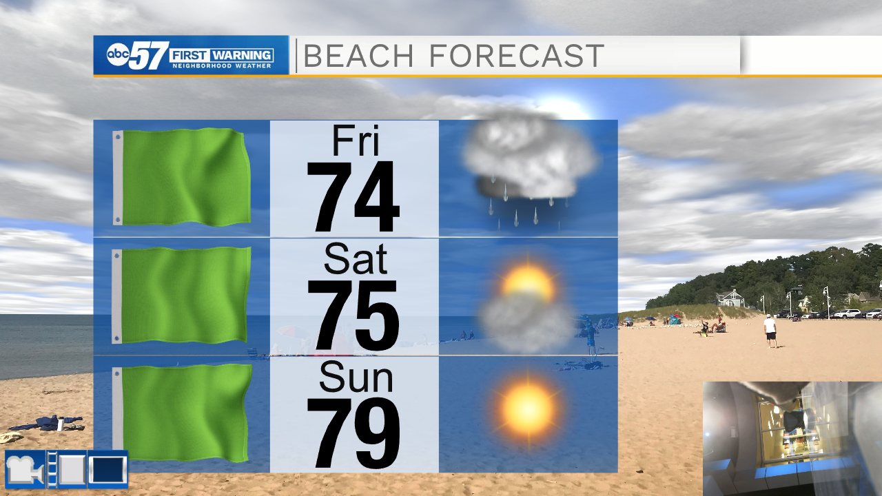
Friday: Rainy. High 74.
Saturday: Partly sunny. High 78.
Sign up for the ABC 57 Newsletter