Strong to severe storms possible on Labor Day


Labor Day will start off beautiful, sunny and warm. Breezy, southwest winds will bring warm air into Michiana, soaring the high temperatures into the mid 80s. A strong cold front will start to push through during the afternoon. Storms will begin to develop close to around 4PM, and a squall line will likely form, pushing to the southeast through most of Michiana. The SPC has Michiana under a Marginal and Slight Risk. In the map below, see that the lower risk is for the northwest counties of Michiana, where the storms will form. The higher risk is for the orange counties, where the storms will intensify as they move to the southeast.![]()
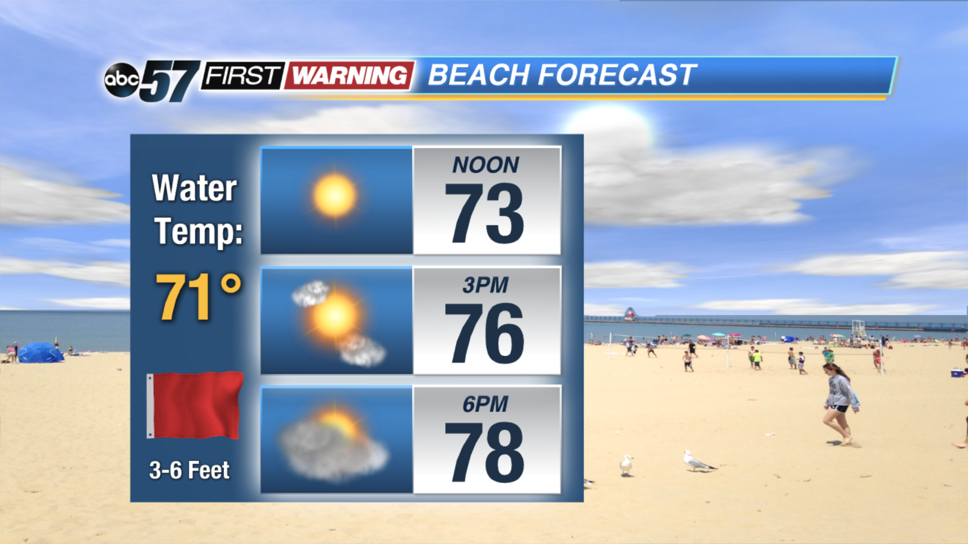
Because of breezy conditions in the forecast for Monday, the waves in Lake Michigan will grow up to 6 feet. Rip currents are expected, so beach-goers are advised not to swim.
Tonight: Mostly clear. Low of 61.
Monday: Sunny and breezy early with storms developing in the early evening. Storms may be strong to severe. Highs in the mid 80s.
Tuesday: Partly sunny with showers developing in the evening. Highs near 70.
Wednesday: Lake effect clouds and rain throughout the day. Highs in the mid 60s.