
-
1:06

Man arrested after allegedly pulling knife on woman at Notre...
-
1:42

Severe weather approaching Michiana
-
2:12

St. Joseph therapist breaks down how social media impacts teens’...
-
1:30

Severe weather possible this afternoon
-
1:37

Humid this morning, severe potential later
-
2:49

White Sox even Crosstown Classic with power-heavy win over Cubs
-
0:52

Hot to start week, cool by Wednesday
-
1:31

Mild tonight, storms Monday
-
0:40

One killed in two vehicle crash on I-65
-
2:14

Dowagiac graduate overcomes his biggest match off the mat
-
1:08

Graves of Revolutionary War veterans get a visit by history fans
-
2:26

White Sox beat Cubs in extras, officially claiming Crosstown...

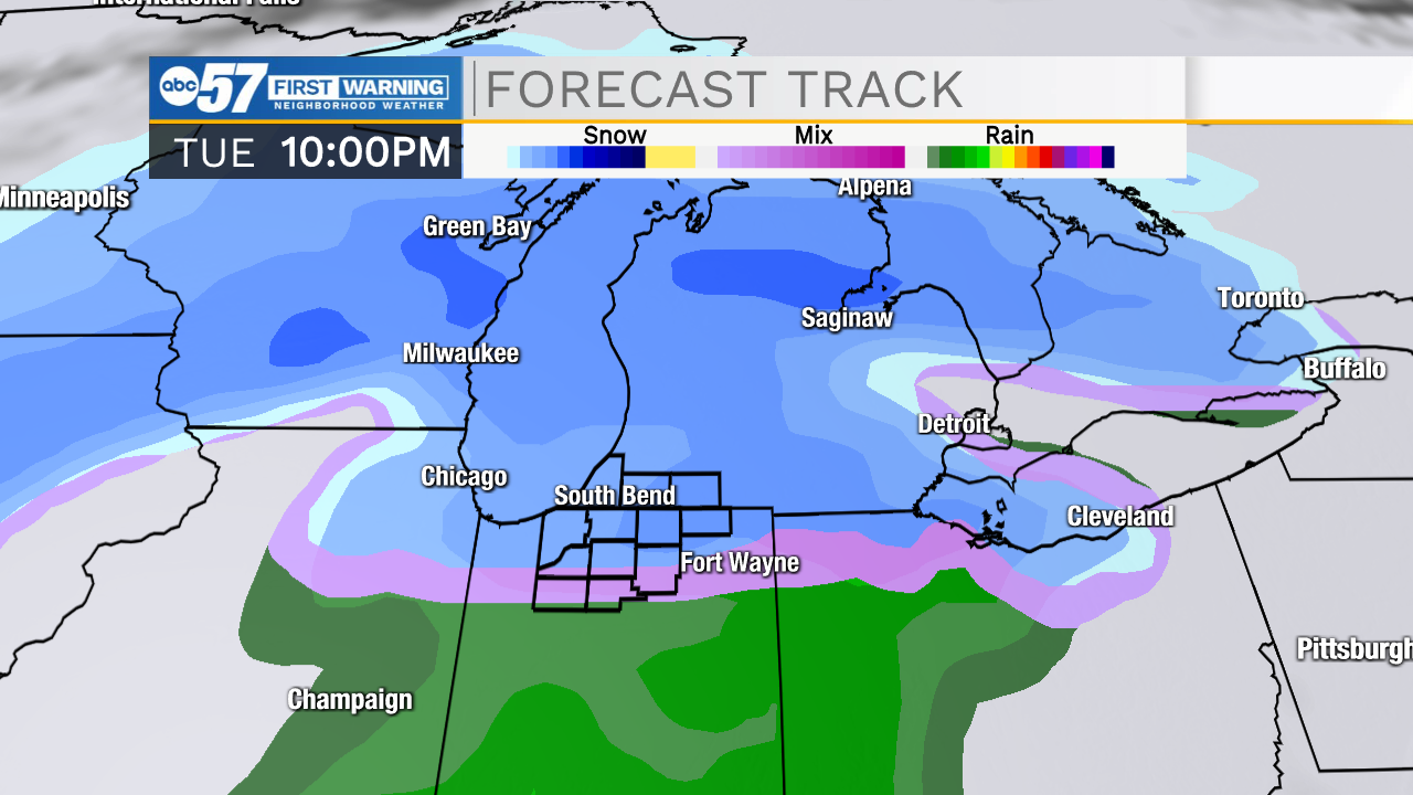
The clouds break Thursday and temperatures warm into the mid-50s, a south breeze could be a tad blustery, but still a nice day. Friday a few rain showers are possible and temperatures fall into Saturday. Sunday is looking wetter and wetter, then temperatures fall into Monday, when snow showers are possible. If you're concerned about snow accumulation, the focus is now Tuesday, however temperatures are still questionable if this will be slush or snow. But Tuesday night is now the best chance of accumulating snow.
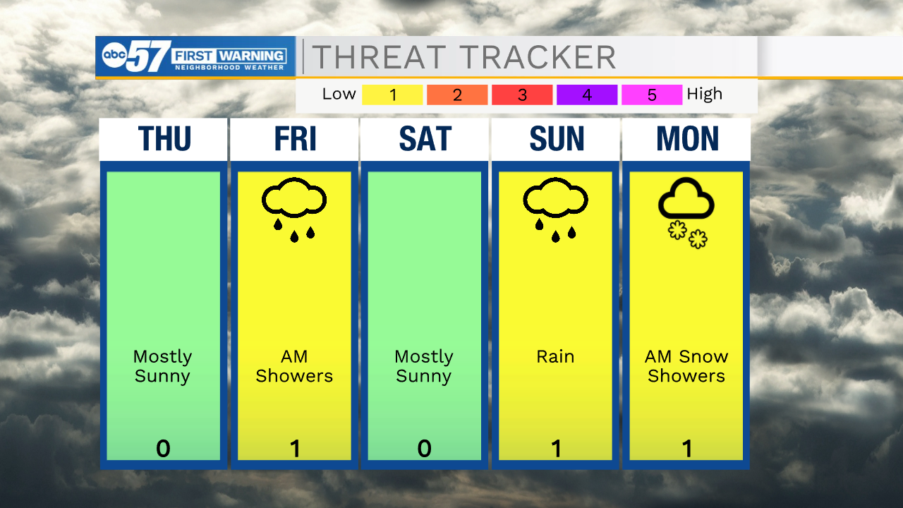
Tonight: Mostly cloudy and breezy. Low 42.
Thursday: Mostly sunny. Breezy. High 55.
Friday: Mostly cloudy, chance of rain. High 48.
Saturday: Mostly sunny. High 40.
Sign up for the ABC 57 Newsletter