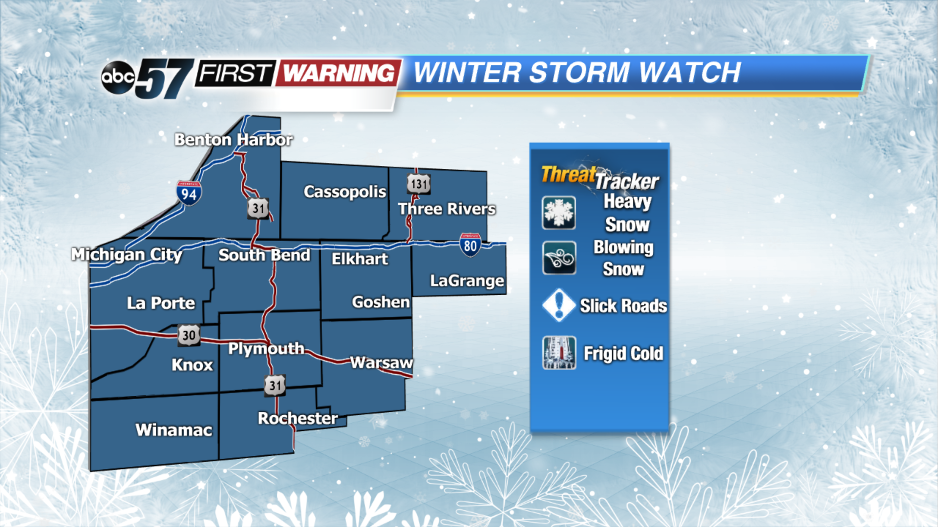
Tracking winter storm for Saturday


Areas of patchy fog in our southern counties this morning. A couple slick spots are possible. Otherwise most of today is quiet under cloudy skies. Snow showers begin late this evening as an extending arm from the system moves in north of US-30. Snow become widespread by early morning and will be heavy at times. Winds pick up and will creating blowing/drifting snow problems for travelers. Snow begins to taper off in the evening. Most will see 4-6” of snow but up to 6-8” will be possible north of the Toll Road.
The winds stay gusty through Sunday as temperatures drop! Highs only make it into the teens for Sunday and Monday. The wind chill will make it feel closer -10 to -20 Monday morning. Bundle up and be prepared for more snow Tuesday afternoon.
Today: Cloudy, snow late, high of 32.
Tonight: Snow mainly north of US-30, low of 22.
Saturday: Snowy, heavy at times and windy, high of 24.
Sunday: Partly cloudy, very cold, high of 16.