Warming-up to end the week, more storms by Thursday.


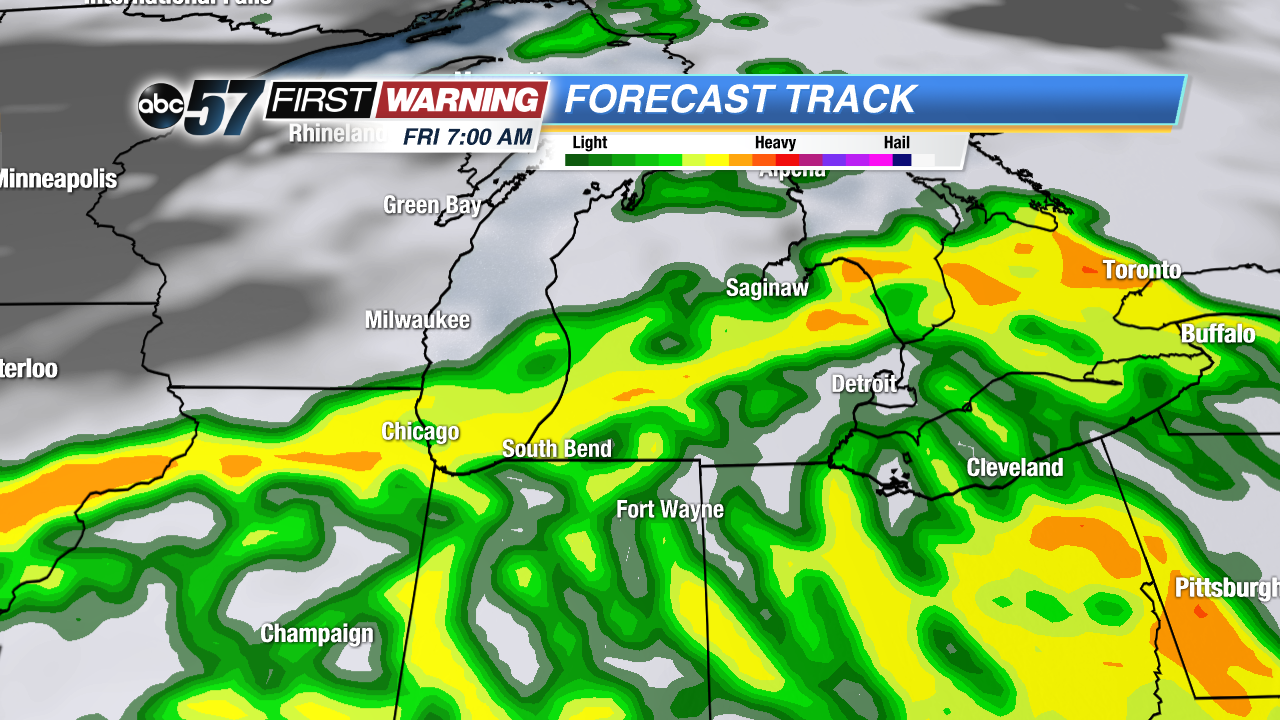 Widespread showers and storms are mostly likely Friday morning. These are not expected to be strong / severe.
Tuesday evening scattered shower and thunderstorms will last through 8 p.n. before clearing and cooling again overnight.
Temperatures warm as we end the week and the humidity rises through Thursday. Wednesday may be the best weather of the week with sunshine and highs near 80. Thursday will be hot and humid with the possibility of thunderstorms. Depending on how things play out there is a severe threat with storms Thursday night into early Friday. Friday looks to be the best bet for widespread rain before a milder and drier weekend.
Tonight: Evening showers/storms, low 58.
Wednesday: Mostly sunny, high of 80.
Thursday: Partly cloudy, storms most likely late, highs in the upper 80s.
Friday: Showers and stor![]() Forecast is fairly quiet tonight, through most of Thursday before storms return to the forecast.
Forecast is fairly quiet tonight, through most of Thursday before storms return to the forecast.