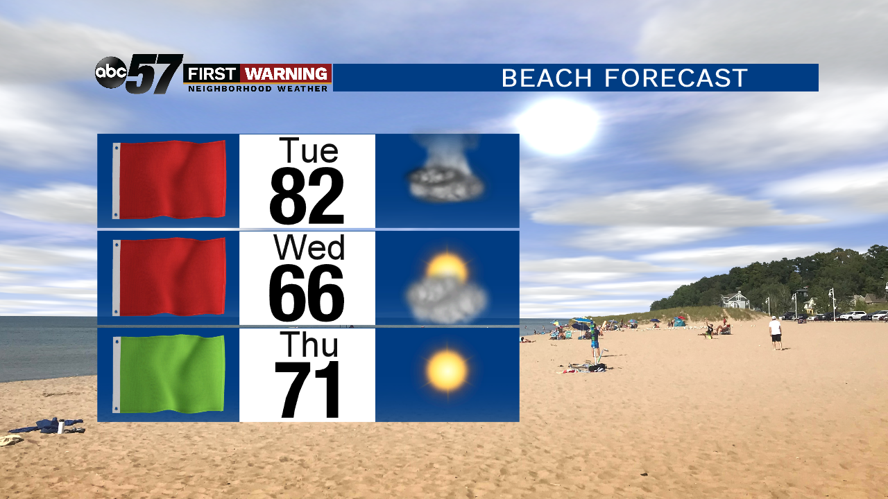
If heading to the beach is something you want to do this week, the conditions are looking poor to dangerous for swimming both Tuesday and Wednesday.
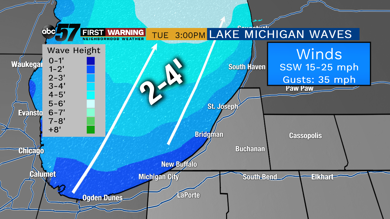 Wave height forecast Tuesday as strong south southwesterly winds develop.
It's possible that waves from St. Joseph northward reach 4-5' by late in the afternoon.
The National Weather Service adds that any storms that move across Lake Michigan on Tuesday will have the potential to cause a meteotsunami or seiche.
Essentially, these phenomena occur on lakes due to changes in pressure, wind speed and/or thunderstorms, and can be very dangerous to even deadly for those in the water, on the beach, or on piers and jetties.
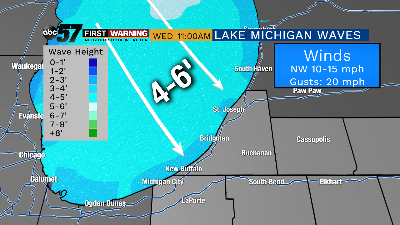 Waves of 4-6' are likely Wednesday as winds turn north northwesterly.
That puts beaches from Michigan City to South Haven in the highest "danger zone" due to the direction the waves will be coming from.
Swimming is highly discouraged as waves and currents will create very dangerous to life-threatening conditions at all beaches.
Venturing out onto piers is also discouraged as high Lake Michigan water levels and large waves will easily allow water to wash over them, possibly washing you into the lake.
