
-
1:50

Top Ten Snow Year 2025-26
-
1:17

South Bend Cubs unveil fan-focused upgrades ahead of Opening...
-
2:21

Notre Dame Fighting Irish ready for spring football
-
2:06

Fighting Irish using time off to refocus ahead of spring practice
-
2:35

What are the privacy implications of SBPD’s ’Drone as First...
-
1:22

Expert discusses Wednesday’s Fed decision
-
3:19

New legislation could make Michigan the 30th constitutional carry...
-
2:15

SBPD using drones to help improve response time
-
1:20

The March roller coaster ride continues
-
1:52

Snow today, rain tomorrow, and warm this weekend
-
0:49

Celebrating St. Patrick’s Day at Corby’s Irish Pub
-
1:58

The Free Market promotes sustainable shopping

Improving weather heading into the weekend. The wind will gradually calm and skies clear. Temperatures rise from the 50s to the 60s, nearing 70 by Sunday and Monday. The next storm system sweeps through Monday bringing rain and dropping highs back to the 50s next week.
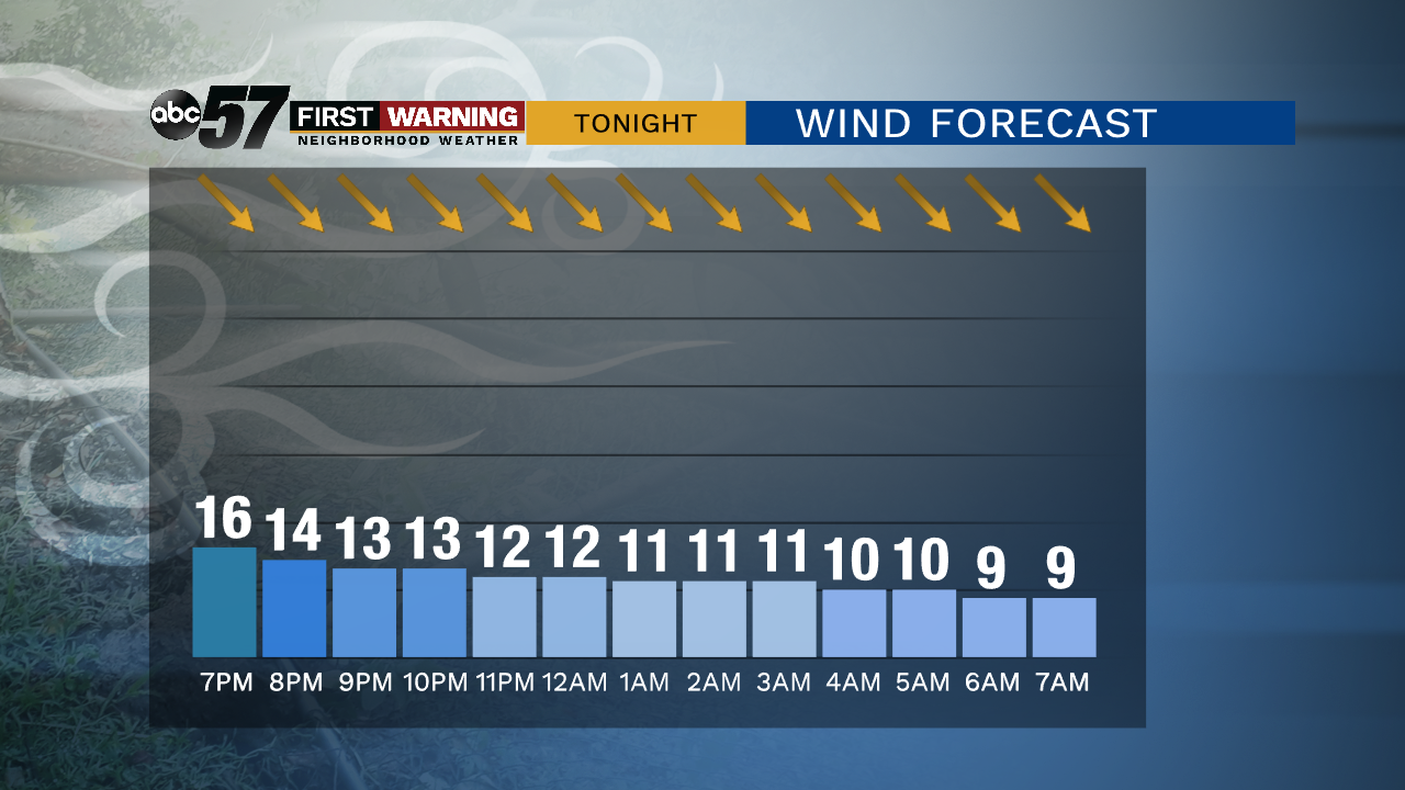
Tonight: Mostly cloudy, breezy. Low of 42.
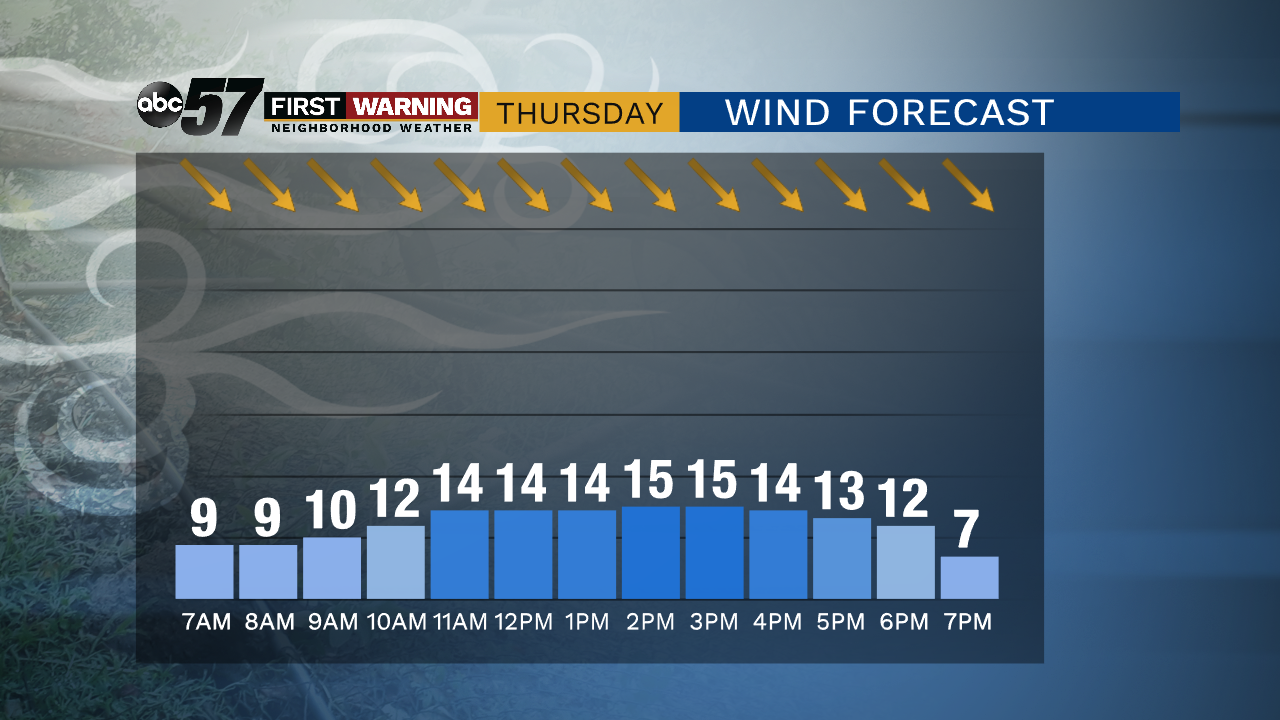
Thursday: Partly cloudy. High of 52.
Friday: Mostly sunny. High of 60.
Saturday: Partly cloudy. High of 66.
Sunday: Mostly sunny. High of 68.
Sign up for the ABC 57 Newsletter