


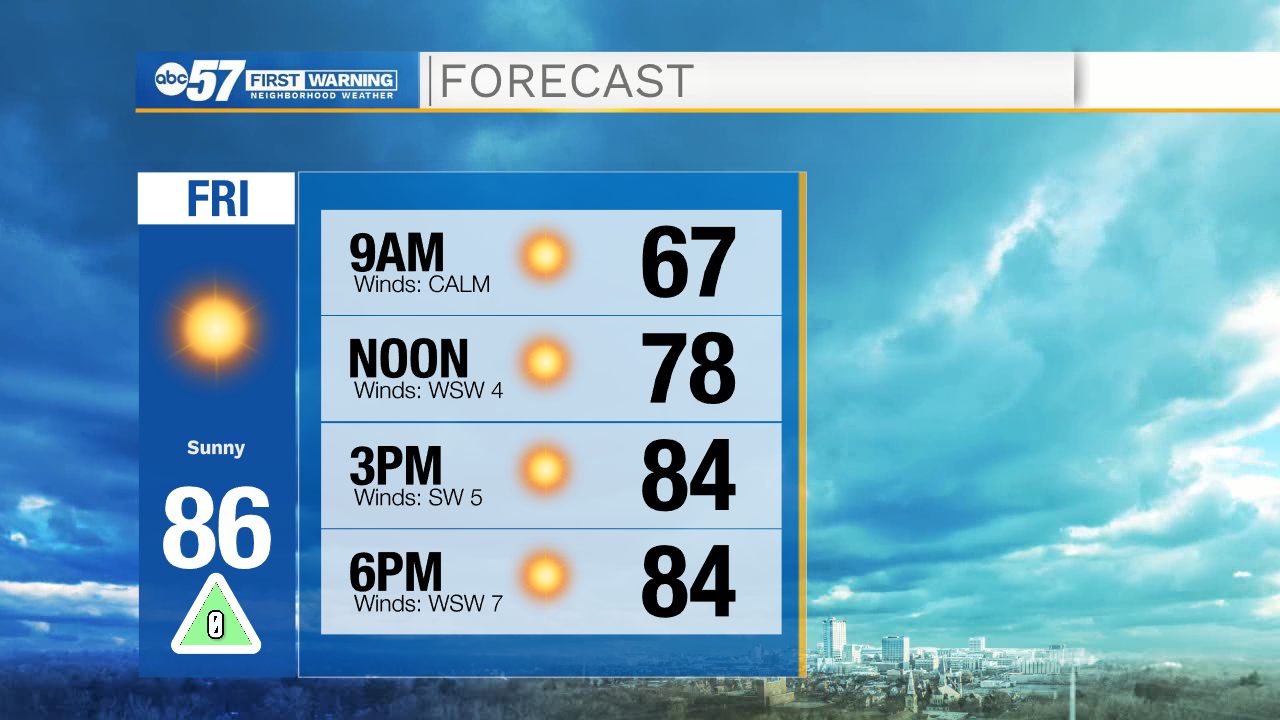
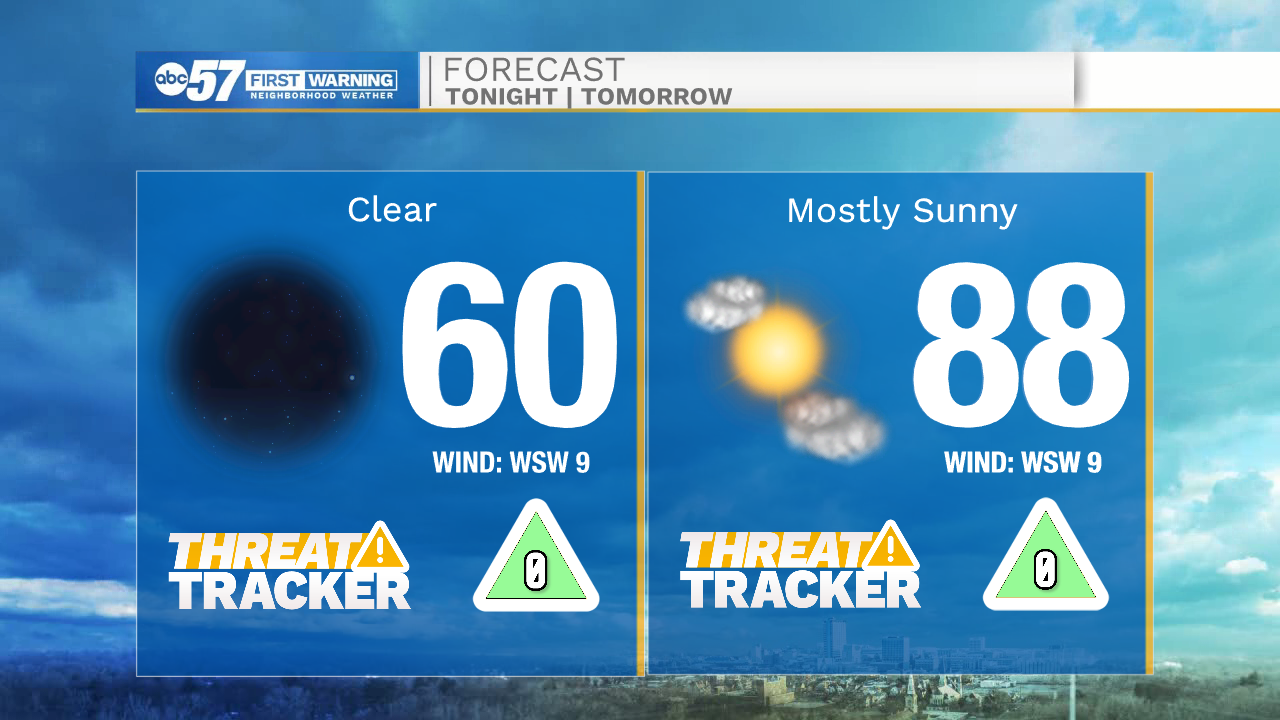
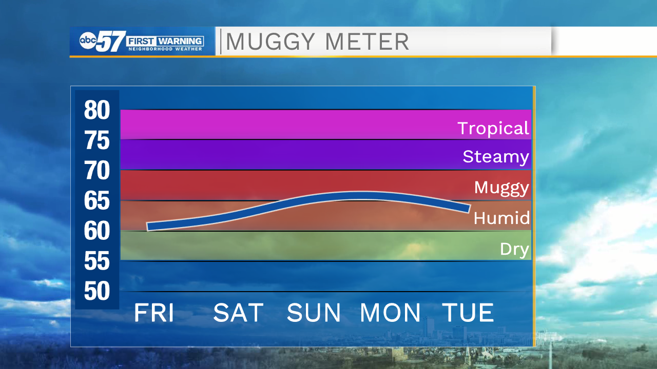
More sunshine is on the way for this afternoon with high temperatures topping out in the mid 80s. The humidity will remain low as dewpoint temperatures only hit the lower 60s. More heat builds in tomorrow afternoon as high temperatures hit the upper 80s. There will be a slight increase in humidity as well. Sunday looks to be hot and humid with highs again in the upper 80s and dewpoint temperatures in the mid to upper 60s. This added moisture will help to develop a few stray showers Sunday evening into early Monday morning.
The 90s look to return next week as a secondary surge of heat moves into Michiana. We will stay dry for the majority of next week, but then low rain chances return to the forecast Thursday evening and early Friday morning. Temperatures will begin to fall heading into that second weekend.
Today: Sunny. High 86.
Tomorrow: Mostly sunny. High 88.
Sunday: Partly cloudy/isolated evening showers. High 88.
Monday: Mostly sunny. High 90.