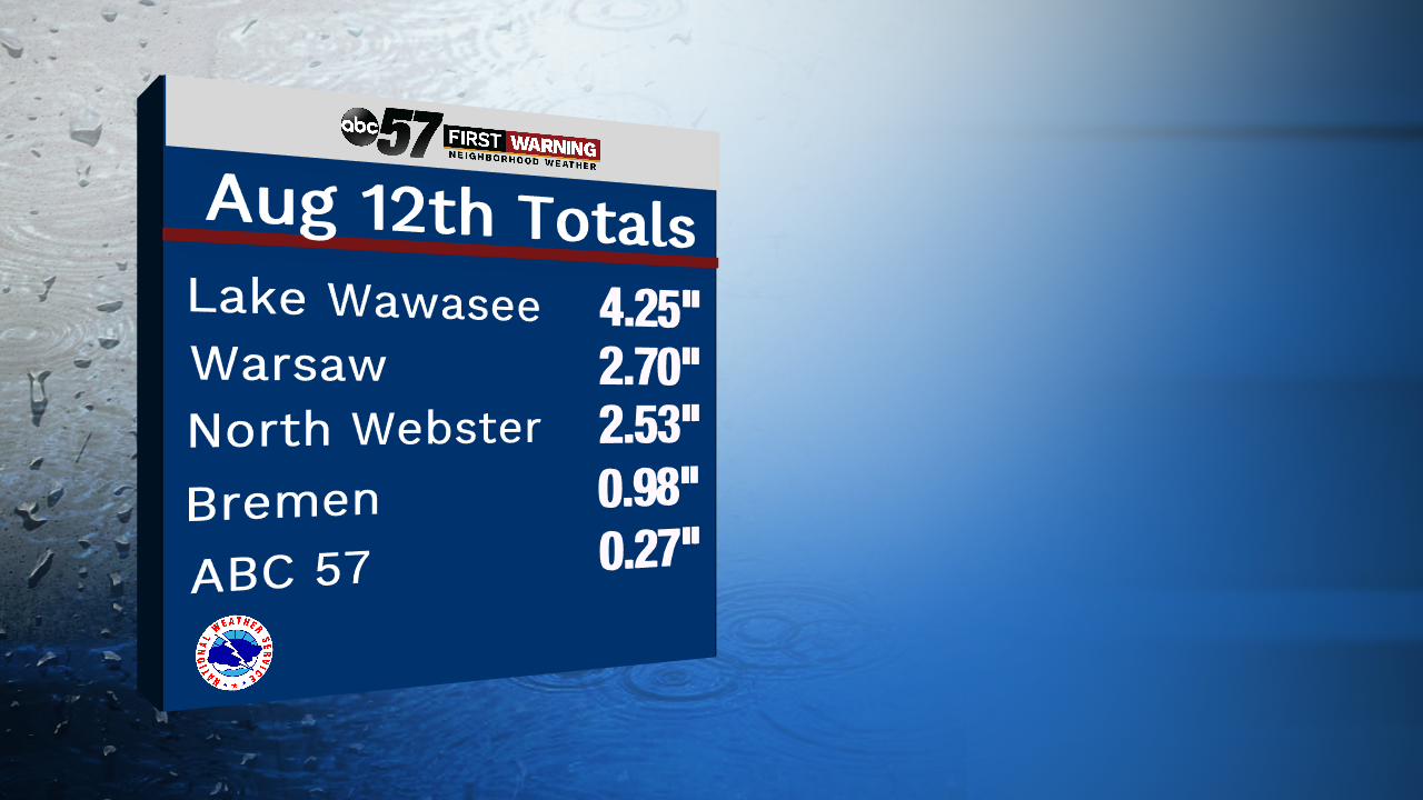
As much as 4 inches of rain has fallen in some portions of southern Michiana yesterday and overnight. A Lake Wawasee report in Kosciusko County showed 4.25" of rain, and more is possible over the area early this morning. North of the Toll Road, rain was hard to come by. The airport at South Bend and here at the station saw just over a quarter of an inch.
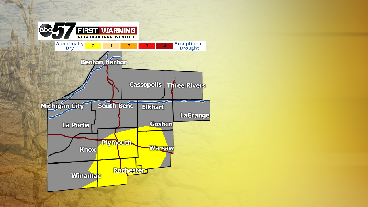
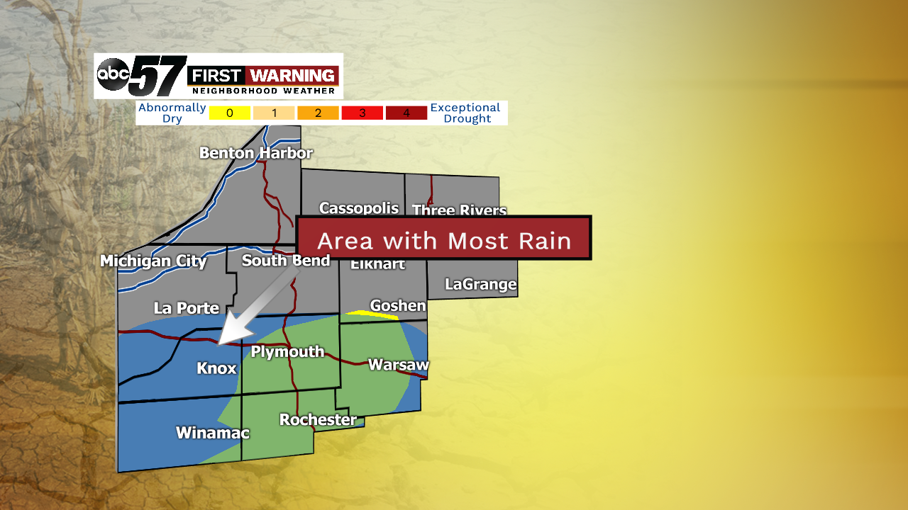
But, this rain has been a great help, especially down south. Those under abnormally dry conditions from the latest drought monitor were the same areas that picked up the most rain from yesterday! So, the new drought monitor that comes out this Thursday should look better for Michiana.
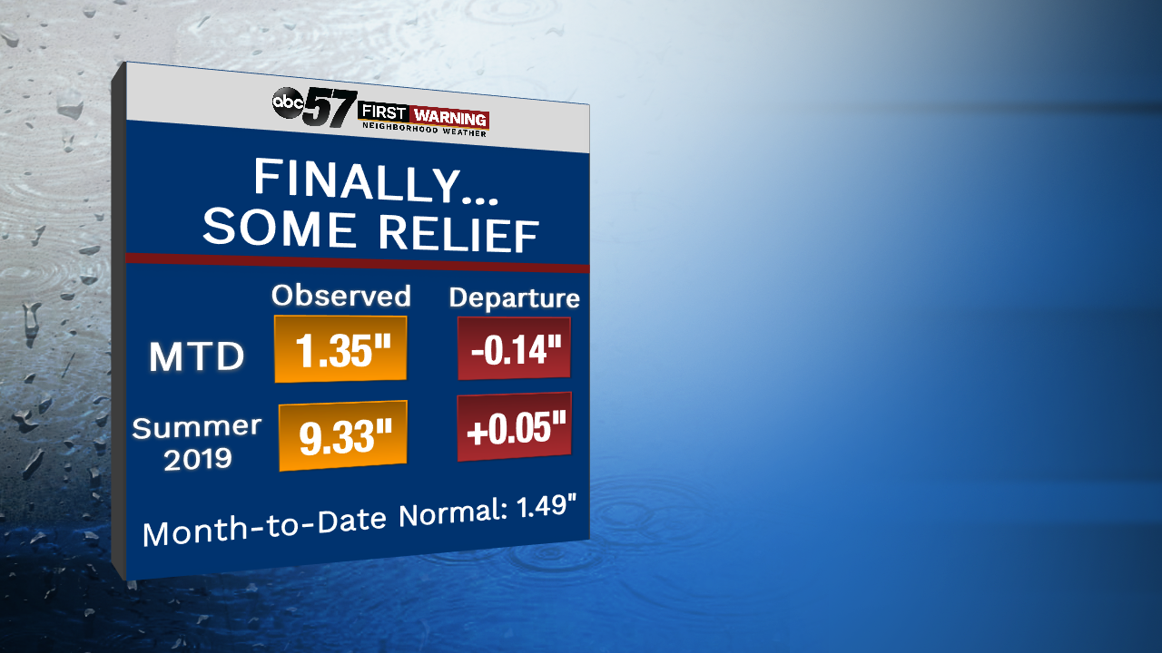
And our monthly and seasonal rainfall numbers have pretty much returned to normal. We were running behind thanks to the prolonged dry stretch, but we're now starting to gain some ground.
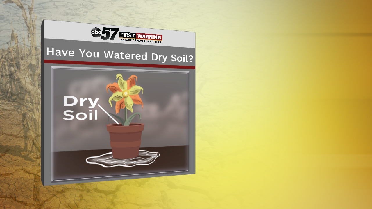
Dry ground and soil does a really good job at building up water-resistant particles after long periods without any water, very similar to our past dry spell over the last several weeks. You might have noticed when you try to water a potted plant that hasn't been touched in a while, it won't take long for most, if not, all of the water comes out the bottom of pot. Well, a similar process occurs with large swaths of dry ground, leading to runoff problems in some instances during the early portions of heavy rain events.
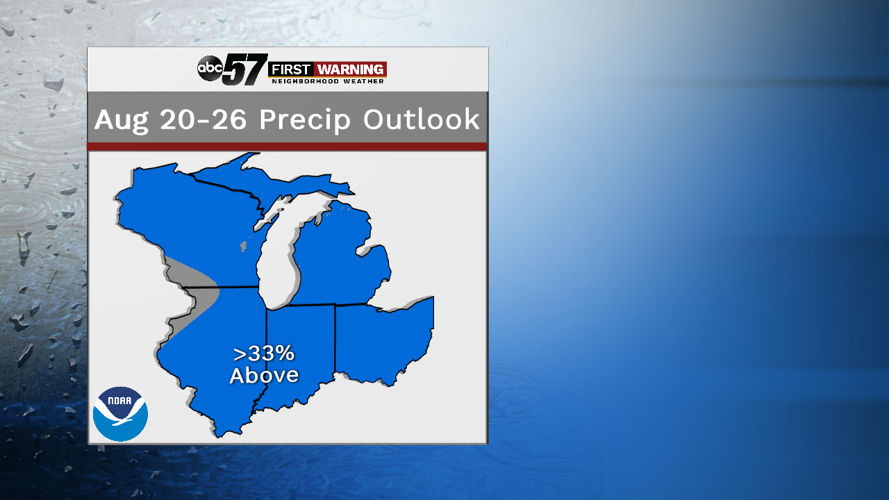
We need a few rounds of rain over a couple week period to keep the ground damp enough to soak up water more efficiently. And we may see something similar to that next week. The Climate Prediction Center is favoring towards a wetter-than-normal forecast for Michiana during that stretch.


