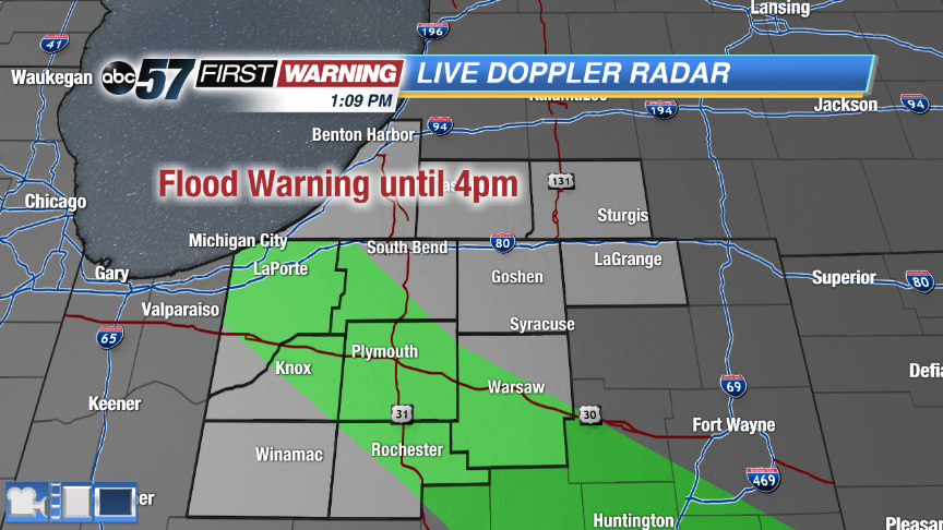
Scattered showers and storms - Flooding Concerns


A line of severe storms already made it's way through Michiana this morning. There are still a couple isolated strong cells north of US-30 with gusty winds and hail. Storms redevelop this afternoon, which could become strong with an isolated severe storm possible. The main threats are strong winds, hail and heavy rain. How much sunshine we still will dictate whether or not storms become severe. The wet weather clears out around dinner time with just a chance of an isolated shower overnight.
This weekend quiets down with plenty of sunshine both days. Highs are cool for this time of year on Saturday, only topping out in the middle 70s. It warms back up near 80 for Sunday.
Friday: A few rounds of storms through midday, strong to severe possible, high 82.
Tonight: Clearing skies, low of 58.
Saturday: Sunny, highs in the mid-70s.
Sunday: Mostly sunny, highs near 80.