


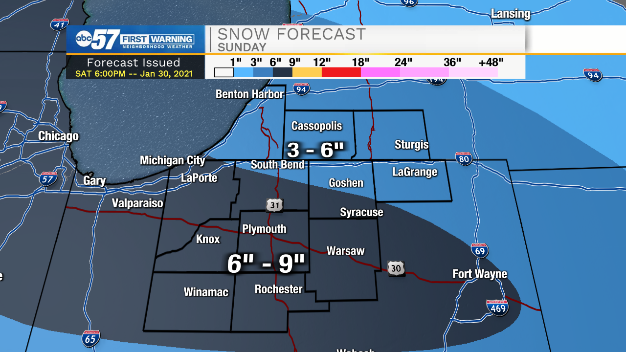
Mixed wintry precip and snow showers will continue to move into Michiana this evening. Our heaviest snowfall will be around midnight through the mid-morning hours tomorrow. Snow intensity will calm into tomorrow afternoon, with lingering light snow showers and flurries remaining in the forecast through the evening. Snowfall accumulations look to be around 3-6 inches for southwest Michigan, with slightly higher totals into our central and southern Michiana counties. A few areas in southern LaPorte, Starke, Pulaski, Fulton, Marshall, and Kosciusko could see over 6 inches of snow. The highest impact to travel will be tomorrow morning. Snow showers will clear out for the beginning part of the week, but then more snow chances return into Wednesday and Thursday.
Tonight: Snow showers. Low 27.
Tomorrow: Snow showers. High 34.
Monday: Mostly cloudy. High 30.
Tuesday: Mostly sunny. High 32.