


Much like yesterday, today will be mostly sunny with a few more afternoon clouds, along with pop-up showers and storms for the southern counties. Upper 80s for highs are expected again today and the high heat looks to continue through the work week and into next weekend. Scattered showers and storms are still possible thanks to the leftovers of Barry as early as Monday night. Rain could come in waves Tuesday and early Wednesday before drier skies and the 90s return to end the work week.
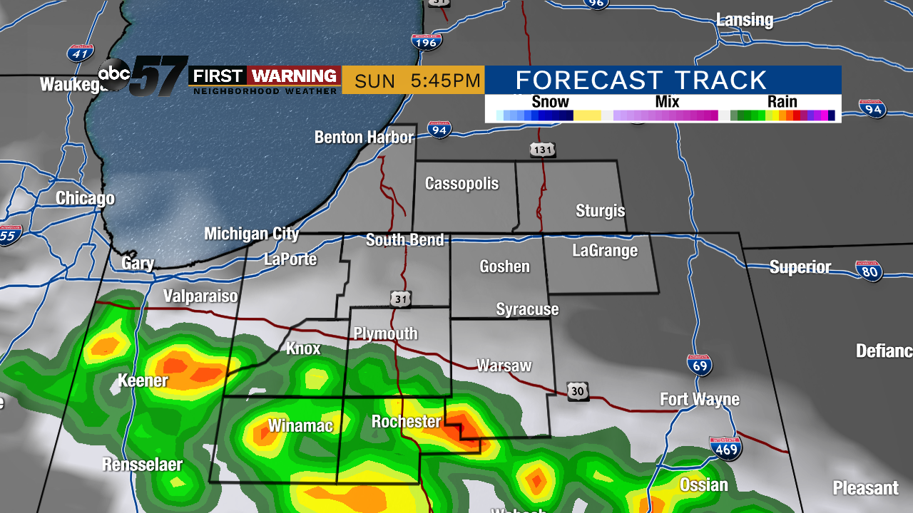 Potential radar picture by this evening.
Today: Mostly to partly sunny with another slight chance of a PM pop-up, mainly south of the Toll Road. High of 87.
Tonight: Partly cloudy with remaining showers/storms ending. Low of 69.
Monday: Partly to mostly sunny. High of 90.
Tuesday: Mostly cloudy with a chance of PM showers/storms. Highs in the mid-80s.