
Very warm, breezy and sunny



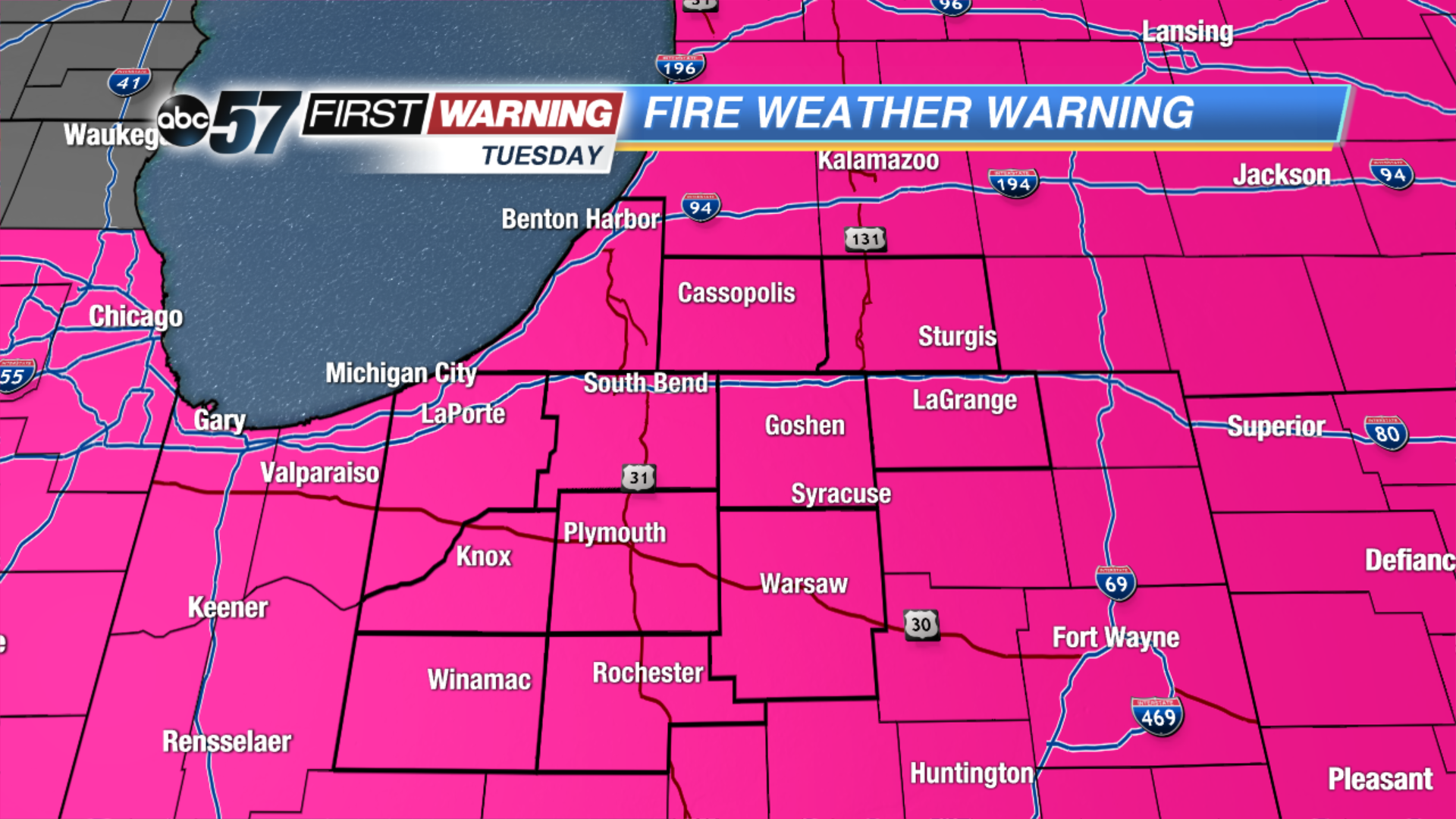
*Red Flag Warning: Due to dry, hot and windy conditions there is an elevated risk of fire danger today. Any fires started could potentially spread very quickly due. Do NOT burn today.
It’s a beautiful summer-like day with highs breaking the 80 degree mark for many in Michiana. It’ll breezy today with winds out of the southwest at 15-25 mph. We’ll see more of a mix of sun and clouds tomorrow with the chance for isolated thunderstorms increasing after midday. You’ll notice humidity building so some may want to turn on the AC. The best chance for much needed rain will be on Thursday with a few thunderstorms possible as well. Rain lingers into Friday morning but it brightens back up for the weekend.
Today: Warm, sunny and breezy, high 80.
Tonight: Partly cloudy, low of 60.
Wednesday: Increasing chance of showers and thunderstorms, high 78.
Thursday: Rain and thunderstorms likely, highs in the mid-70s.