While the First Warning Neighborhood Weather team is forecasting hazy skies this week from wildfire smoke, meteorologists in our western states have a more difficult task at hand: forecasting fire clouds and fire storms.
Even the names of these storms sound intimidating: pyrocumulus and pyrocumulonimbus clouds.
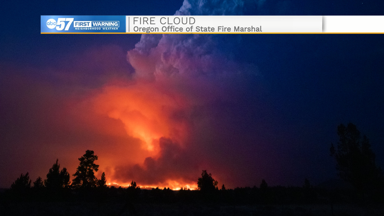
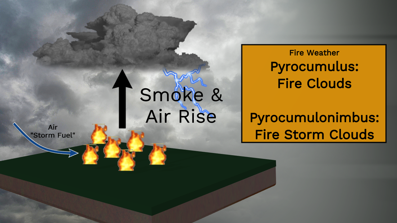
Let's start with the basics, which are similar to how normal clouds form. As wet air passes over the hot wildfires, the air and smoke lift, cool, and eventually, form pyrocumulus clouds (or fire clouds).
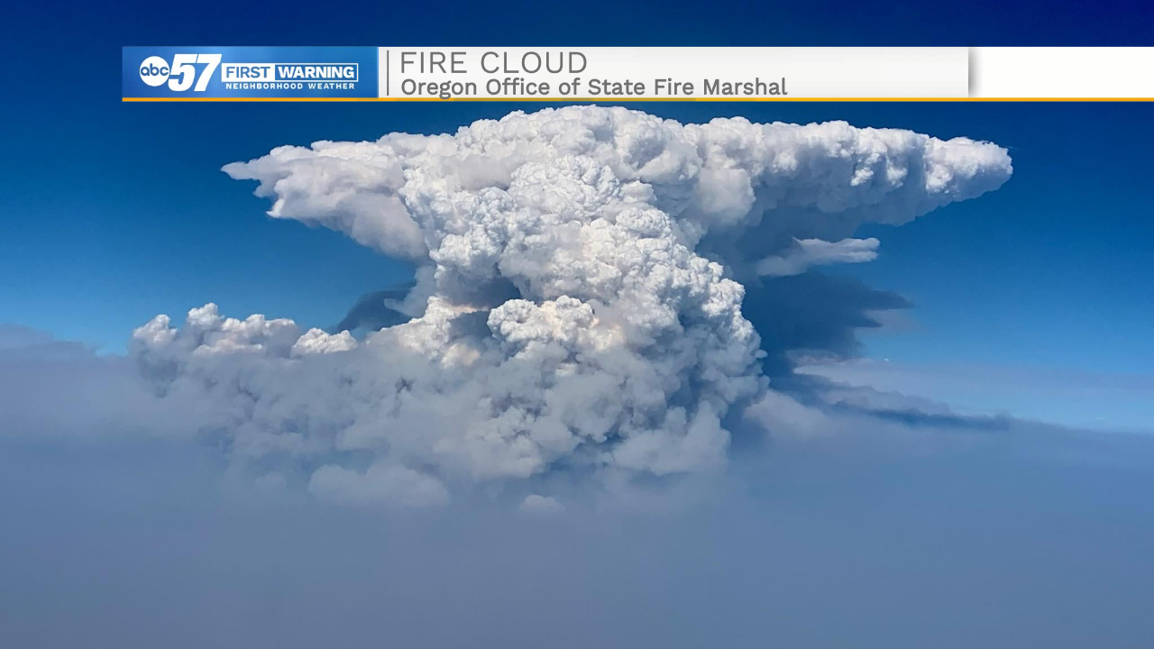
Unlike regular clouds, fire clouds are more gray or brown in color because of the smoke and ash. Cloud tops are around six miles above Earth.
This already doesn't sound great, but let's move on to an even more menacing name: pyrocumulonimbus (or fire storm clouds).
When fires are even larger, smoke is pushed higher into the atmosphere, which creates bigger clouds. This is similar to regular thunder clouds.
Unfortunately, this is a situation where lightning can form. More lightning strikes are less than ideal, as it could naturally ignite another fire. These storms rarely form rain, so there isn't a lot of hope that rain will help put out the fires.
If there is any spin within this setup, we can actually form a fire tornado. Check out this video from California earlier this year.
There are currently over 80 wildfires in the western United States, and additional fire clouds or fire storm clouds are both possible in the forecast.


