


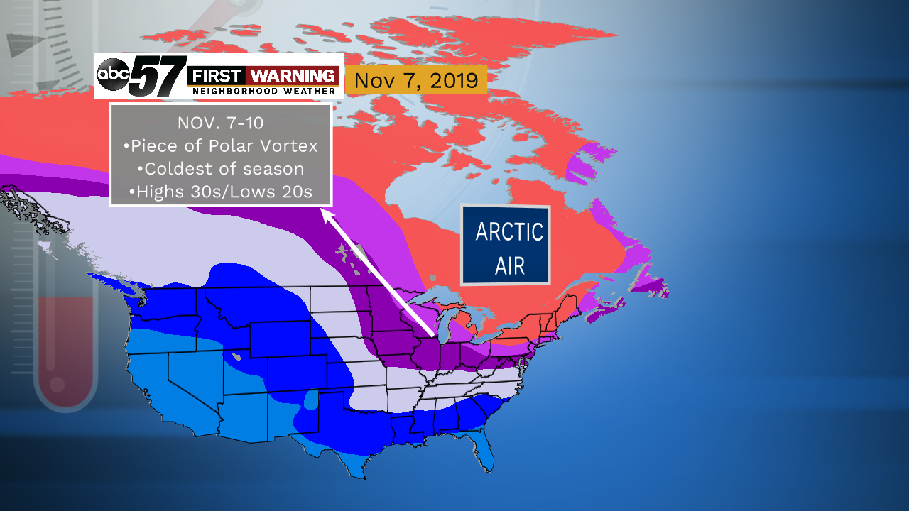
 A piece of the Polar Vortex will surge southward into the Great Lakes region around November 7-10. It'll bring very cold air for November standards.
The pattern across North America will allow shots of cold to very cold air to push into the Midwest, Great Lakes and Northeast from Canada through at least the first half of November.
Believe it or not, a piece of the Polar Vortex will actually make its way into the Great Lakes around November 8th or so.
No, this does not mean we will see subzero weather. What it does mean is that we will see significantly below normal temperatures for this time of year.
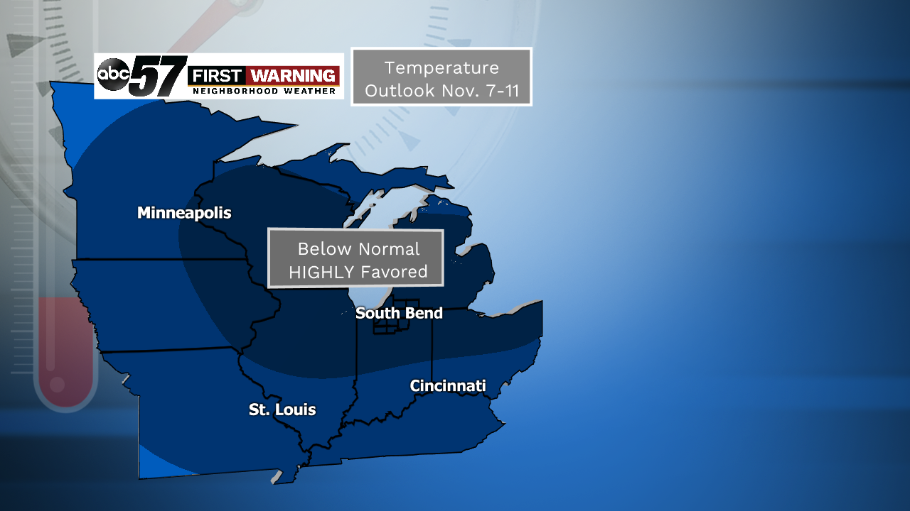 Probability of below normal temperatures during the period November 7-11 is virtually as high as it gets.
Michiana is right smack dab in the middle of that with very chilly temperatures expected for that stretch.
As it looks now, November 7th, 8th and 9th look to be absolute coldest with highs possibly staying down in the 30s for many of us. Overnight lows will dip well into the 20s.
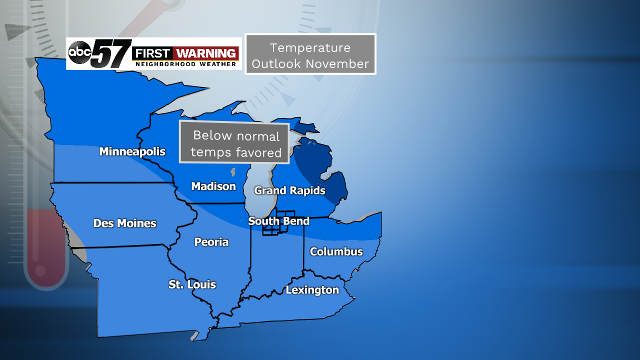 November temperature outlook.
But while we are solidly in the blue, we will likely see at least a few days that are in the upper 40s and possibly lower 50s over the course of the month.
We're just expecting many more days in the 35-45° range than anything else! Get those Christmas decorations out!