


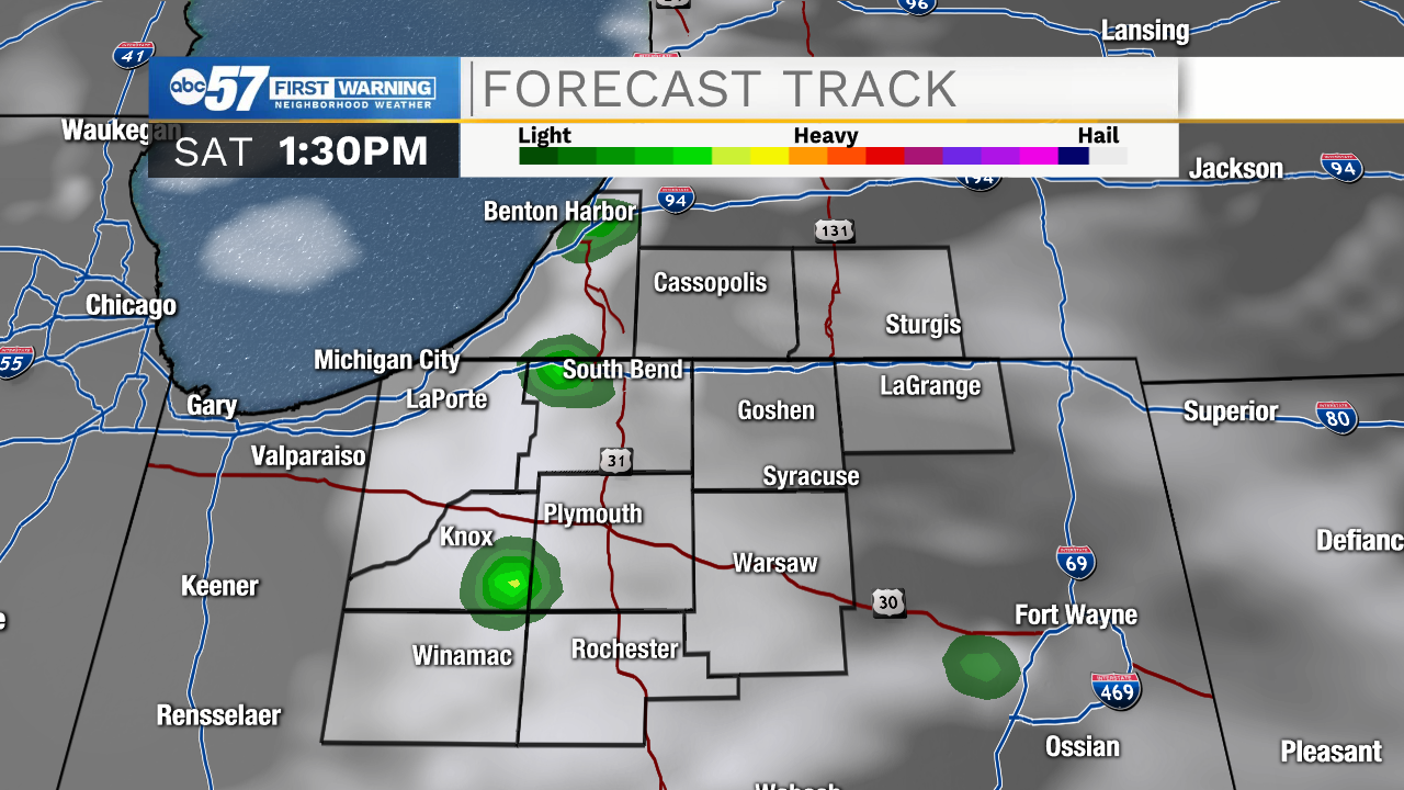
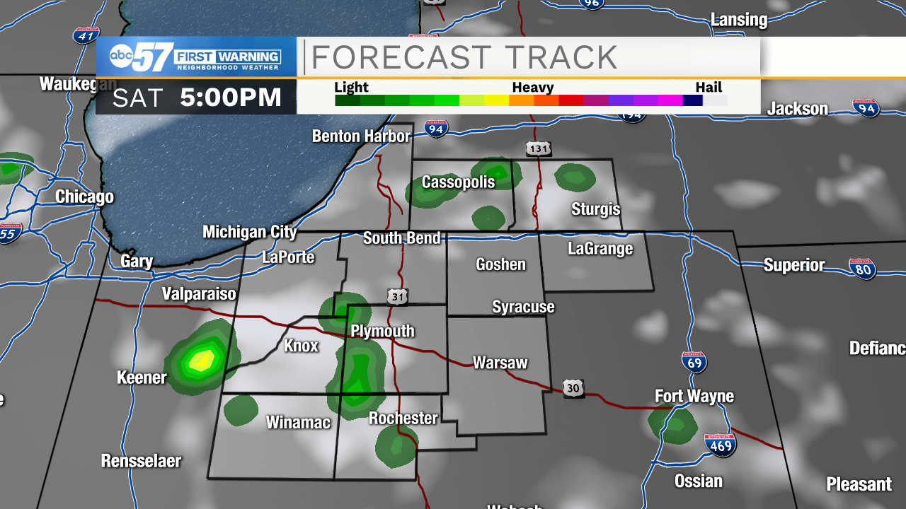
It will feel like summer for the 4th of July 2020. Temperatures start around 70 this morning, climbing to the 80s by 11 a.m. and reaching a high around 92 this afternoon. Cloud cover increases slightly this afternoon. There is a chance for a few isolated thunderstorms or showers, starting after 1 p.m. Most will stay dry today, and the chance for showers wraps up around 6 p.m.
For fireworks this evening, temperatures will be in the low 80s or upper 70s. Overnight's low is 68.
The holiday weekend will end mostly sunny on Sunday with a high of 93. Temperatures increase heading into the week, with a high of 95 for Monday. As humidity increases this week, feels like temperatures could reach close to the 100 degree mark. Temperatures will stay hot in the 90s each day in our 10-day forecast. To end the mostly dry streak, showers and thunderstorms are possible by Tuesday.
4th of July: Partly sunny. A few isolated afternoon showers/thunderstorms. High 92.
Tonight: Mostly clear. Low 68.
Sunday: Mostly sunny and hot. High 93.
Monday: Mostly sunny and hot. High 95.