Active weekend: Rain Saturday, storms Sunday


A calm night will give way to mostly cloudy skies and a chance of rain showers Saturday. Temperatures will hold in the middle and upper 40s before rising during the evening into the lower 50s.
Warmer air will move in Sunday with highs making a run at the lower 60s under mainly cloudy skies. Rain and thunderstorms are likely with some of the storms potentially becoming strong to severe. The best chance of severe weather will be during the afternoon and early evening hours along a strong cold front.
Quiet weather returns next week with highs in the 40s and lows in the 30s.
Tonight: Partly to mostly cloudy, low 39.
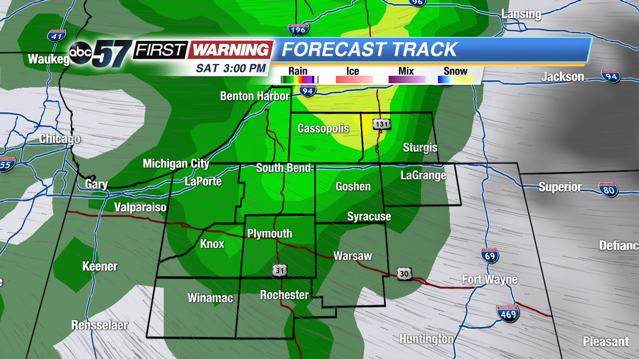 Rain likely through the afternoon on Saturday.
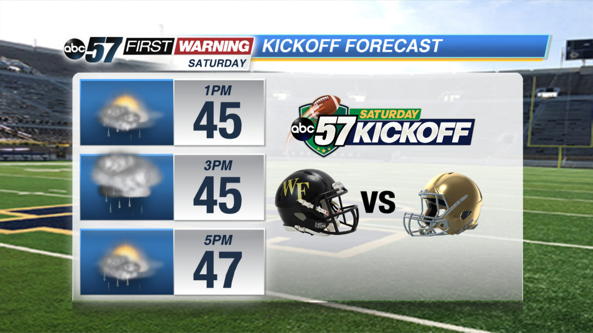
Saturday: Mostly cloudy, scattered rain, highs near 50F.
Sunday: Rain and thunderstorms, chance for severe, highs in the lower 60s.
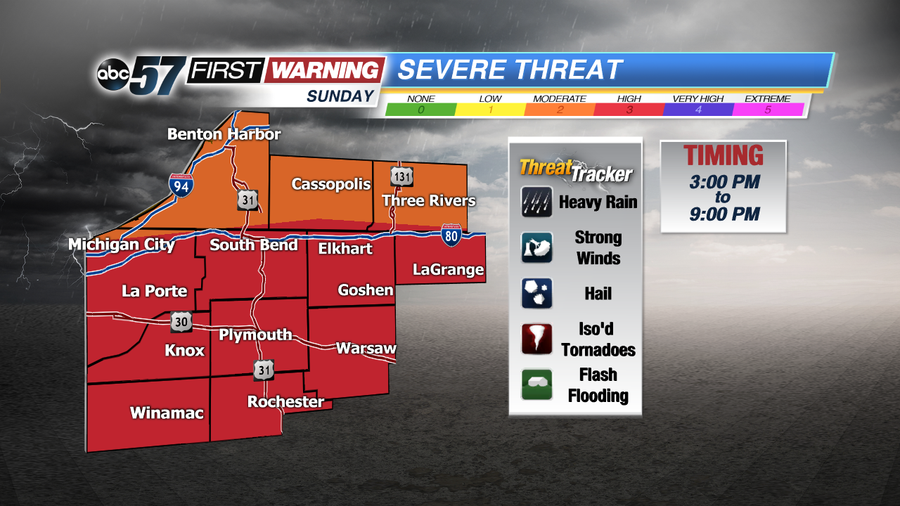 All severe threats are possible Sunday.
Monday: Mostly cloudy skies, highs in the upper 40s.
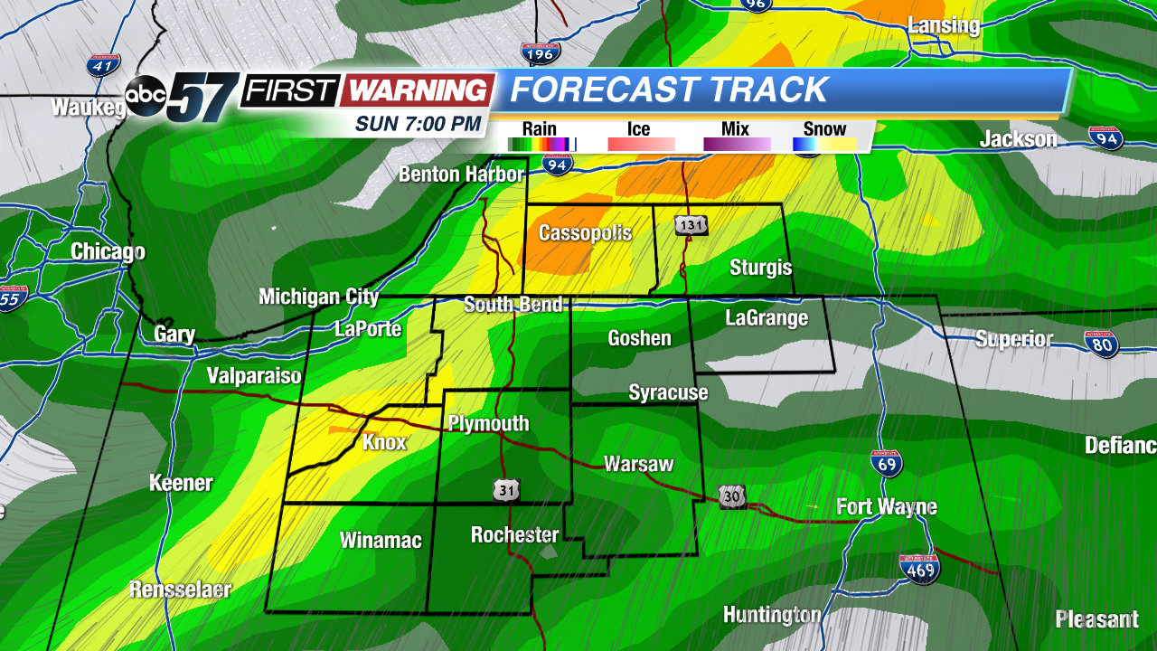 Latest timing puts main line of storms in area around 7 PM Sunday.