


The chance for snow flurries decreases overnight. There will only be a trace accumulation, but roads could continue to be slick in spots tonight and tomorrow morning. The rest of the week will look similar to today- gray and cloudy- but should be dry. Temperatures remain in the mid to upper 30s each day. Lows will be in the upper 20s to low 30s.
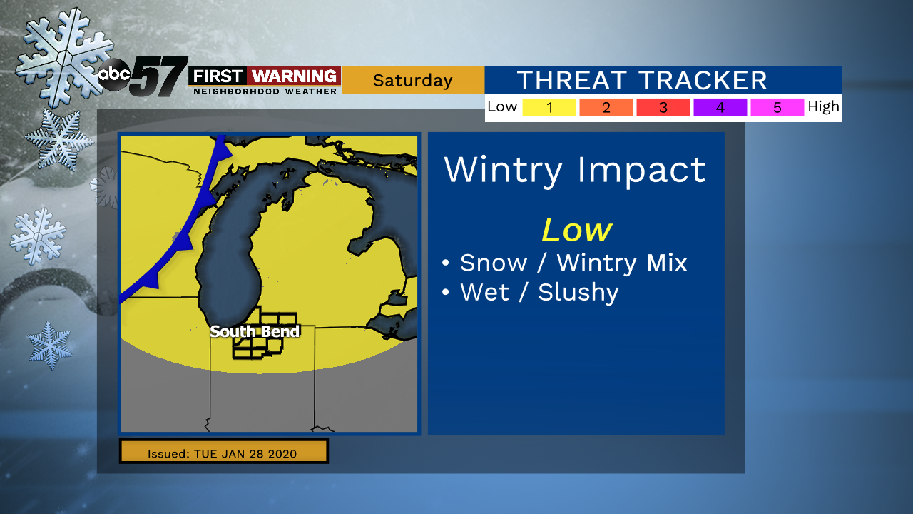
The next chance for precipitation is Friday night. There will be some late snow flurries, which continue into the day Saturday. As temperatures warm on Saturday, we could see a wintry mix later.
By Sunday, we are dry, warm to 43, and have a chance to see some sunshine under partly cloudy skies. Heading into next week, Monday remains unseasonably warm with a high of 48.
Tonight: A chance of flurries or drizzle. Low 28.
Wednesday: Mostly cloudy. High 34.
Thursday: Mostly cloudy. High 36.
Friday: Cloudy with late evening snow showers. High 38.