
-
1:43

Pleasant to start the weekend
-
3:06

Pulaski County weighs stricter solar rules amid resident concerns
-
0:40

Marian High School hosts World Down Syndrome Awareness Walk
-
2:33

South Bend leaders call for an end to gun violence
-
2:01

Tae Johnson, Notre Dame secondary stands out as Irish open spring...
-
2:21

Backup quarterback competition, position battles highlight Notre...
-
2:25

A new Pathway to the Golden Dome
-
2:33

Howard Park aims to install bandshell
-
1:37

March Madness and gambling responsibly
-
1:19

There are two big temperatures drops next week
-
1:48

Longer days for the first day of Spring
-
1:30

Country music star Jake Owen to play at Blue Gate Performing...

A cold but mostly snow-free weekend is in the forecast. High temperatures will struggle to break 20 degrees and another bitter cold Saturday night with lows in the single digits as clouds clear into Sunday. A few light lake effect snow showers will only add up to an inch or so in some locations. The next significant snowfall will be Monday with a clipper system that will bring widespread accumulation.
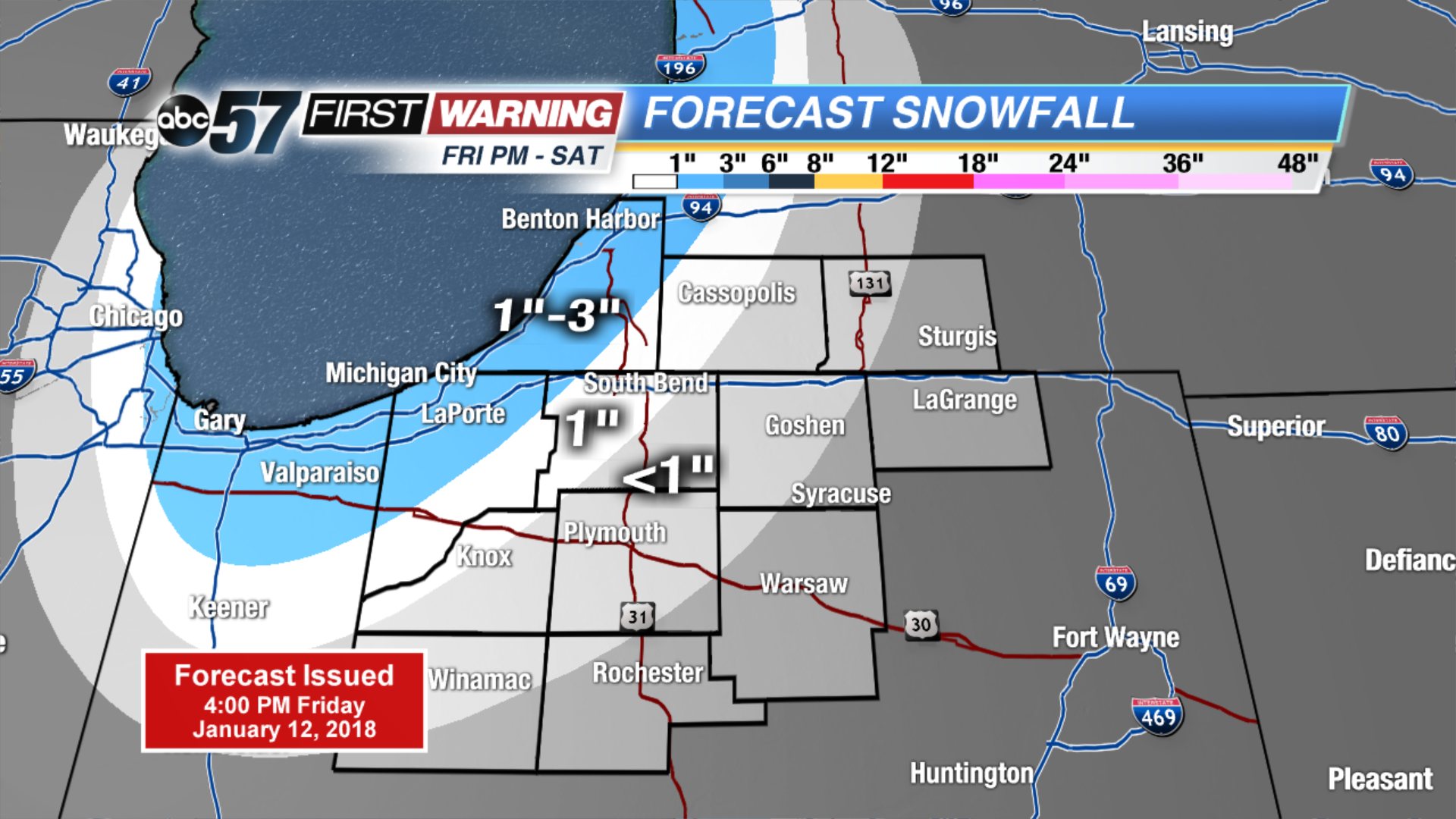 Lake effect snow forecast through Saturday
Tonight: Partly cloudy, chance lake effect west, low 12.
Saturday: Mostly cloudy, lake effect snow showers, high of 20.
Sunday: Mostly sunny, high of 20, chance of snow late.
Monday: Snow showers, highs in the mid-20s.
Sign up for the ABC 57 Newsletter