Final stretch of summer weather; fall temperatures next week


Say goodbye to summer; the start of fall is at 9:30 this morning (EDT) with the equinox. This means we’ll have about 12 hours of daylight and 12 hours of darkness. This week it’ll still feel like summer with our weather.
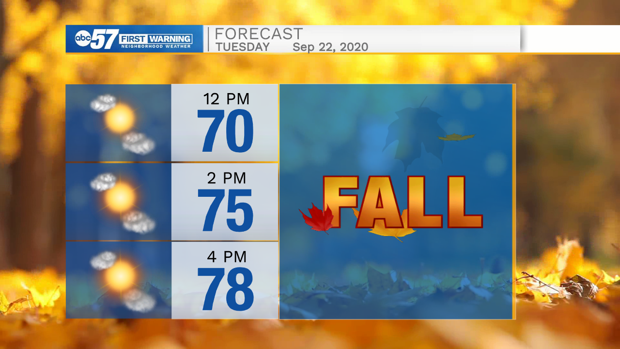
Temperatures today are starting cool in the upper 40s to low 50s. We reach a summer-like high around 78 this afternoon. Skies are sunny but hazy under wildfire smoke.
Tonight’s low is in the mid 50s, so walking out the door Wednesday morning won’t be quite as cool as this morning.
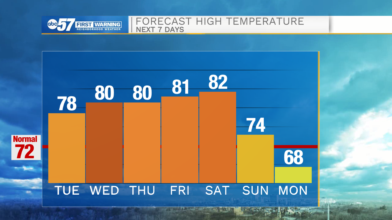
Wednesday through Saturday, daytime highs are expected to be in the low 80s! Skies are mostly sunny, but will still be impacted by wildfire smoke. We stay dry the rest of the week and during the day Saturday. Finally a chance for rain arrives late Saturday night along a cold front. We’ll see scattered showers Sunday and Monday. High temperatures fall into the mid 70s Sunday and the 60s then 50s next week-- it will finally feel like fall.
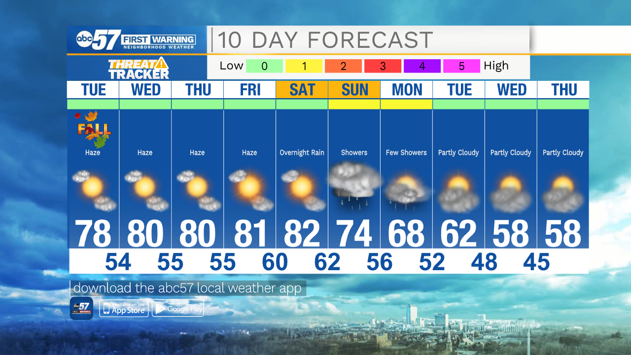
Today: Sunny/hazy. High 78.
Tonight: Few clouds. Low 54.
Wednesday: Mostly sunny/hazy. High 80.
Thursday: Mostly sunny/hazy. High 80.