
-
1:00

NIPSCO workers rally in South Bend for new contract
-
1:53

Severe weather threat is over, MUCH colder Friday
-
3:43

South Bend Mayor James Mueller delivers 2026 State of the City...
-
0:52

Family and friends of Adrian Cruz voice frustration in sentencing...
-
2:13

Potawatomi Zoo prepares for opening day with new attractions
-
2:54

Local expert weighs in on landmark social media decisions
-
1:33

Round one of storms moving east, Round two arriving soon
-
2:38

Bourbon residents recall tornado as severe weather strikes again
-
1:34

Tornado threat decreasing, but severe weather still expected...
-
1:42

Damaging winds and hail move in this evening
-
2:51

Severe weather expected in Michiana later today
-
2:15

Severe weather likely for portions of Michiana later today

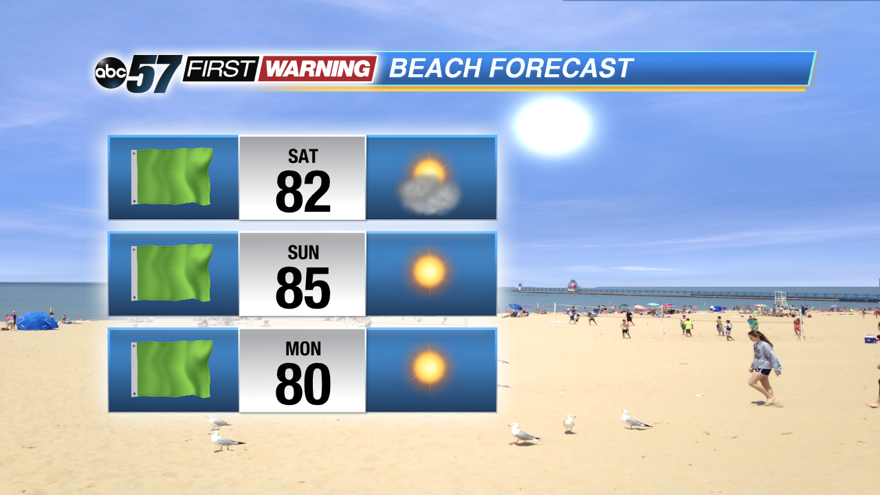
A mini heatwave through the Memorial Day Weekend as highs will reach 90 and keep warming through early next week. The heat index will only make it feel warmer, as the humidity surges. An isolated shower or storm is possible Saturday otherwise the forecast looks dry. The heat breaks next Wednesday with a round of showers and thunderstorms.
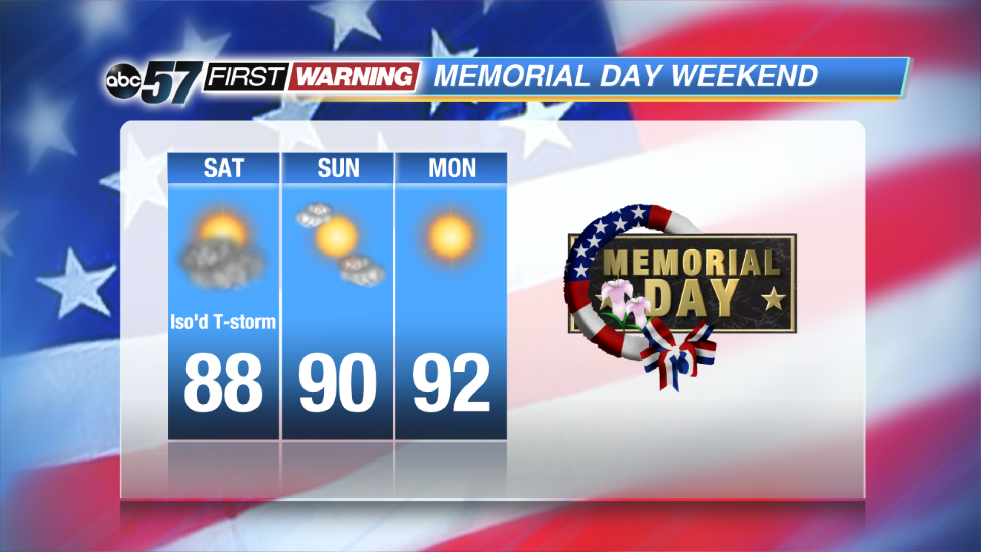
Tonight: Scattered storms after midnight, low 66.
Saturday: Partly cloudy, chance of showers or t-storms, high of 88.
Sunday: Sunny, high of 90
Memorial Day: Sunn, highs near 92.
Tuesday: Sunny, high of 94.
Sign up for the ABC 57 Newsletter