
Hot September weather through Tuesday
By: Emily Kennedy
Posted: Sep 12, 2021 3:26 AM EDT

-
3:41

Economic impact shapes opposition to St. Joseph County data center...
-
3:00

Red Rock Inn targets demolition for within the next week according...
-
5:39

Celebrando Hispanic Heritage: Amid gaps in Michiana’s Hispanic...
-
2:25

Grassroots organizations speaks on future of data and surveillance...
-
5:14

Celebrando Hispanic Heritage: First generation student shares...
-
21:29
Celebrando Hispanic Heritage: Recognizing the many contributions...
-
5:35

Celebrando Hispanic Heritage: Hispanic media pioneers speak on...
-
1:05

Latin business expo brings unity to Latino businessowners
-
2:36

Rising cost of diesel fuel adds stress to local farmers
-
4:51

Celebrando Hispanic Heritage: Community of Michiana shares in...
-
2:11

Local conference aims to help seniors thrive, plan for their...
-
11:20

ABC57 sits down with local immigration attorney to discuss the...

ABC57 First Warning Neighborhood Weather Forecast
Sunday, September 12th, 2021
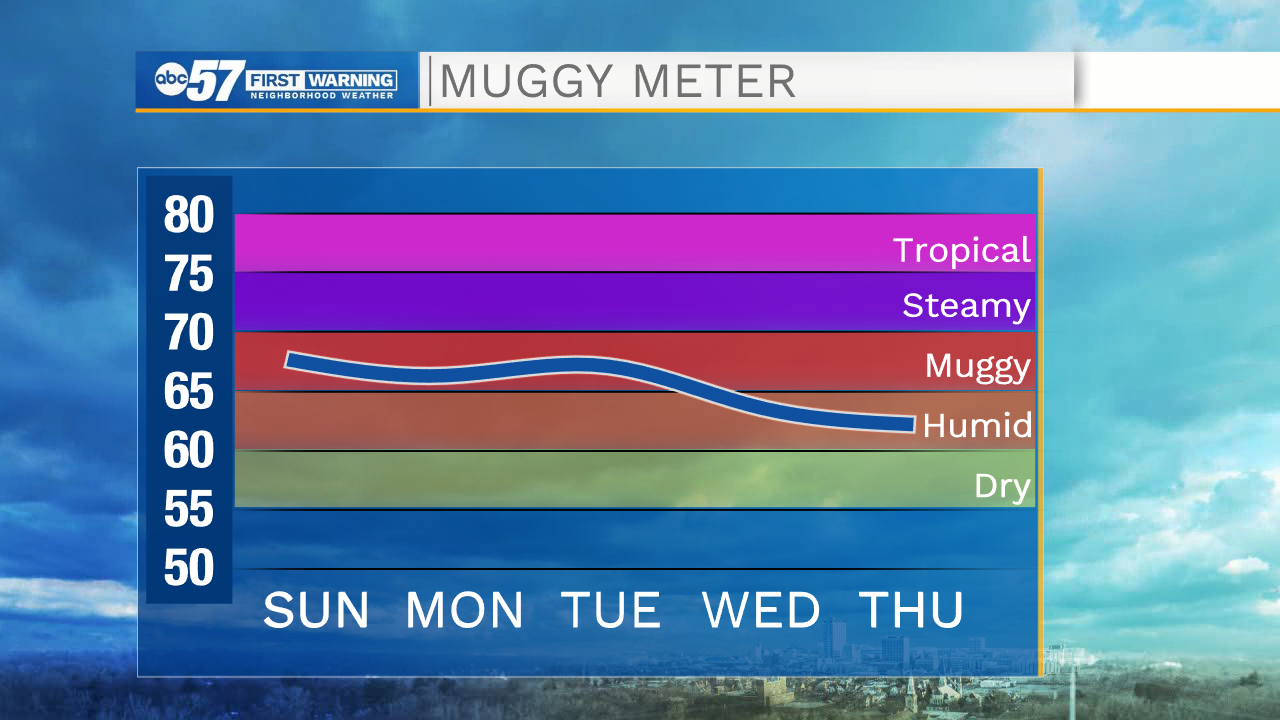
It is a hot summer-like day with hazy sunshine. We hold onto this stretch of heat through Tuesday as daytime highs stay near 90s. A round of storms moves in Tuesday evening, ahead of a cold front. These storms could be strong with gusty wind and heavy rain. The rain will linger into Wednesday morning. Temperatures cool into the upper 70s to low 80s for the remainder of the week with sunshine.
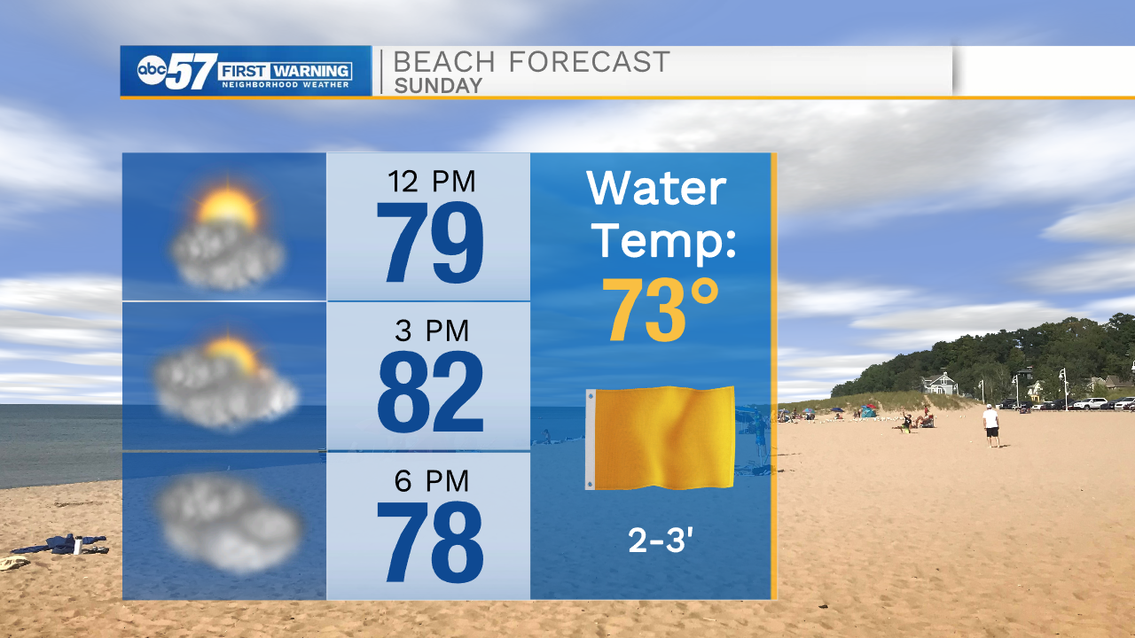
Today: Mostly sunny. High 90.
Tonight: Mostly cloudy. Low 68.
Monday: AM Clouds, PM Sun. High 88.
Tuesday: Thunderstorms Late. High 90.
Sign up for the ABC 57 Newsletter