


More rain and storm activity is on the way for us here in Michiana tonight. We should see more showers move in around midnight and linger through mid to late morning tomorrow. There could be a few stronger thunderstorms, but all should remain sub-severe. Heavy downpours could lead to some puddling on the roadways. Temperatures tonight will drop into the lower 70s then highs tomorrow afternoon will only top out in the upper 70s to lower 80s. We could see a little sunshine return later in the day. Temperatures will remain in the 80s through Wednesday, but then the 90 degree heat makes its way back to Michiana for Thursday. Another front will move into Michiana Friday, which will prompt some rain and storm chances heading into next weekend.
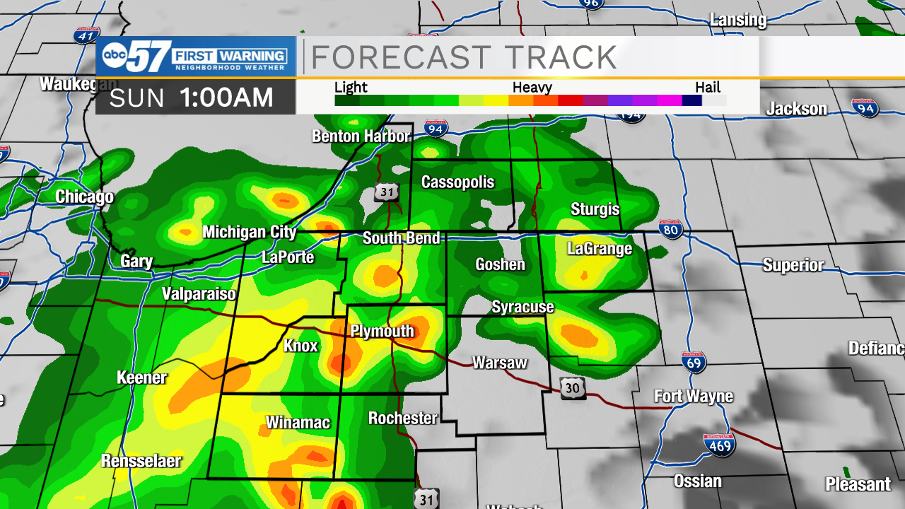
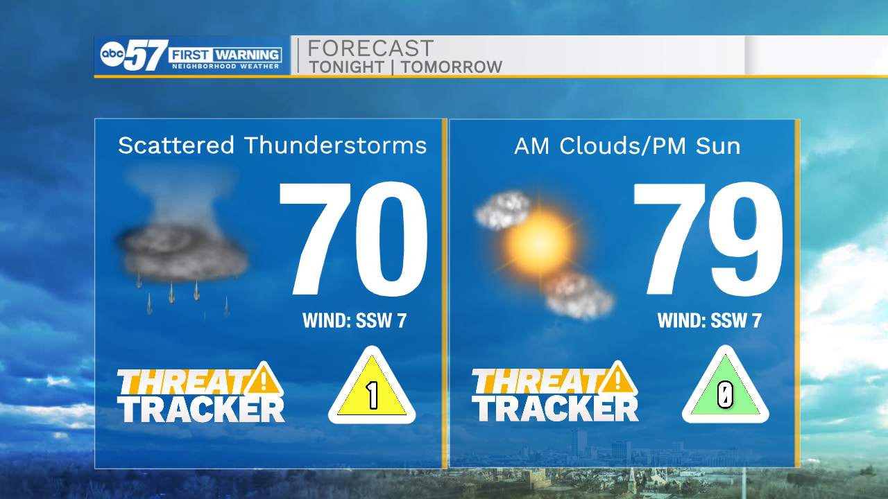
Tonight: Scattered showers/storms. Low 70.
Tomorrow: Mostly cloudy/partly cloudy. High 79.
Monday: Sunny. High 76.
Tuesday: Sunny. High 85.