Much needed rain returns to the forecast.
After 11 days of dry weather, much needed rain returns to the forecast starting Thursday. This could be our best chance of rain for awhile. Earlier this week we told you about dry start to August. As of Wednesday, there has been no rainfall recorded in South Bend for the month.

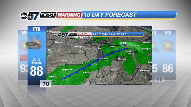
As the humidity spikes to end the week, showers and storms return to the forecast. Thursday will have isolated showers and storms, leaving many dry. A cold front approaches Friday, bringing our best chance for thunderstorms and widespread rain.
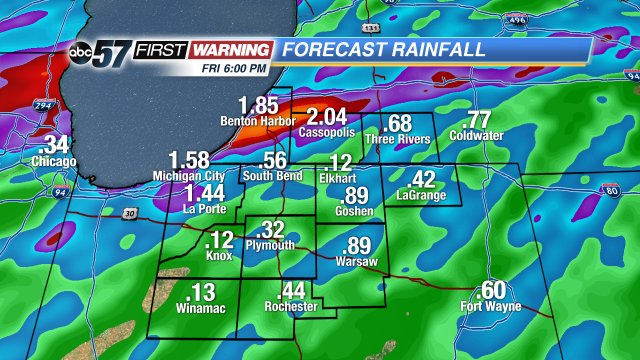
The high humidity primes the atmosphere like a well for heavy rain. The map below shows estimated rainfall through 6:00 PM Friday. Notice how the totals vary greatly in a blotchy pattern. The model, while not plotting the exact location of precipitation shows us the trend for localized heavy downpours.
Given current trends the threat for severe weather is at a minimum. The only threat being lightning and heavy rain.

The chance for rain ends by midday Saturday. Get the latest 10-Day forecast here.
