
-
1:16

No shortage of sunshine today
-
1:37

Memorial Day parade forecast
-
4:51

Local band ’The Erly’ stops by ABC57 ahead of June 3 performance
-
1:17

VERY foggy first few hours of the morning
-
1:57

A local taste brings New Carlisle community together on race...
-
0:45

Pancakes help raise funds to support the Alzheimer’s Association
-
1:03

Lighter rain expected into the afternoon
-
1:04

Non-severe storms expected
-
1:16

Showers start this morning
-
1:59

Mac & Cheese festival turns Four Winds Field into a kitchen
-
0:45

Michiana Spring Clay tour encourages people to try and take a...
-
2:56

Fresh Cuts, Fresh Starts: Re-Entry Program Gives Back in Elkhart

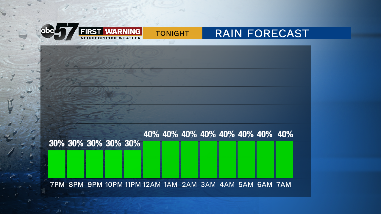
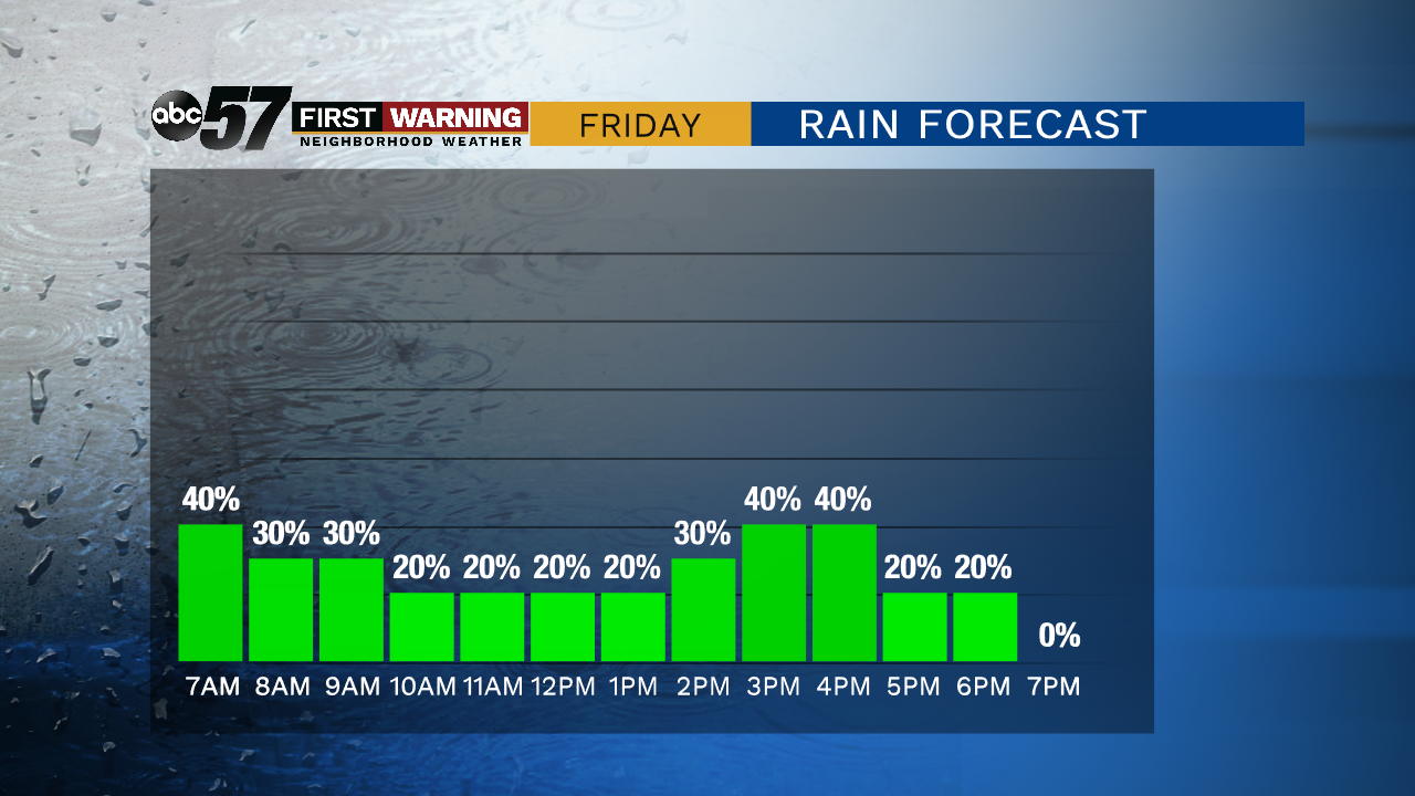
Scattered showers and storms stay in the forecast Thursday night, lasting through Friday afternoon. Widespread severe weather is unlikely but a few storms could be strong with gusty wind and heavy rain.
Steamy conditions last through Friday, until a cold front sweeps through late afternoon. Scattered showers and storms also stay in the forecast until the frontal passage. The humidity drops for some temporary relief this weekend, sunny with highs near 80. The humidity returns next week as the mid-September warmth continues.
Tonight: Few showers and storms possible. Low of 70.
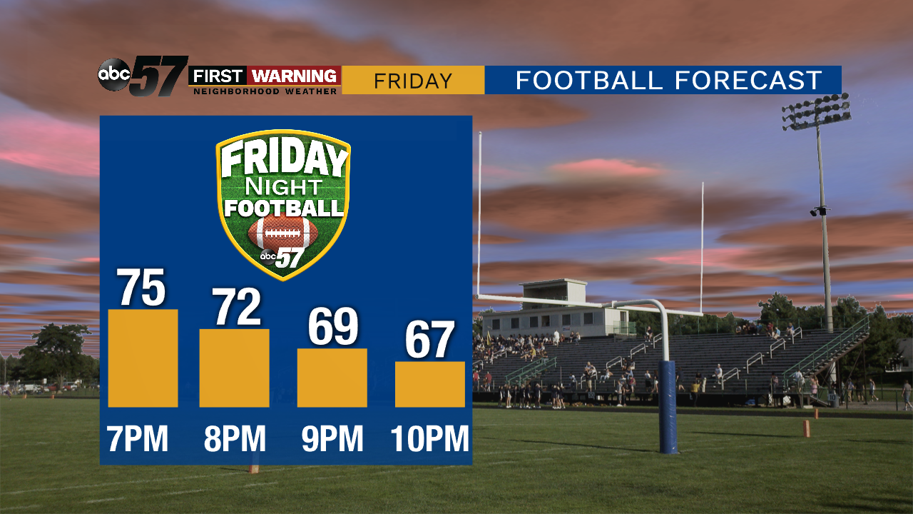
Friday: Scattered showers and storms, breezy. High of 80.
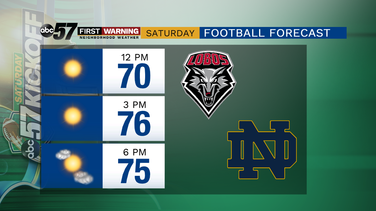
Saturday: Mostly sunny. High of 78.
Sunday: Partly cloudy. High of 84.
Sign up for the ABC 57 Newsletter