


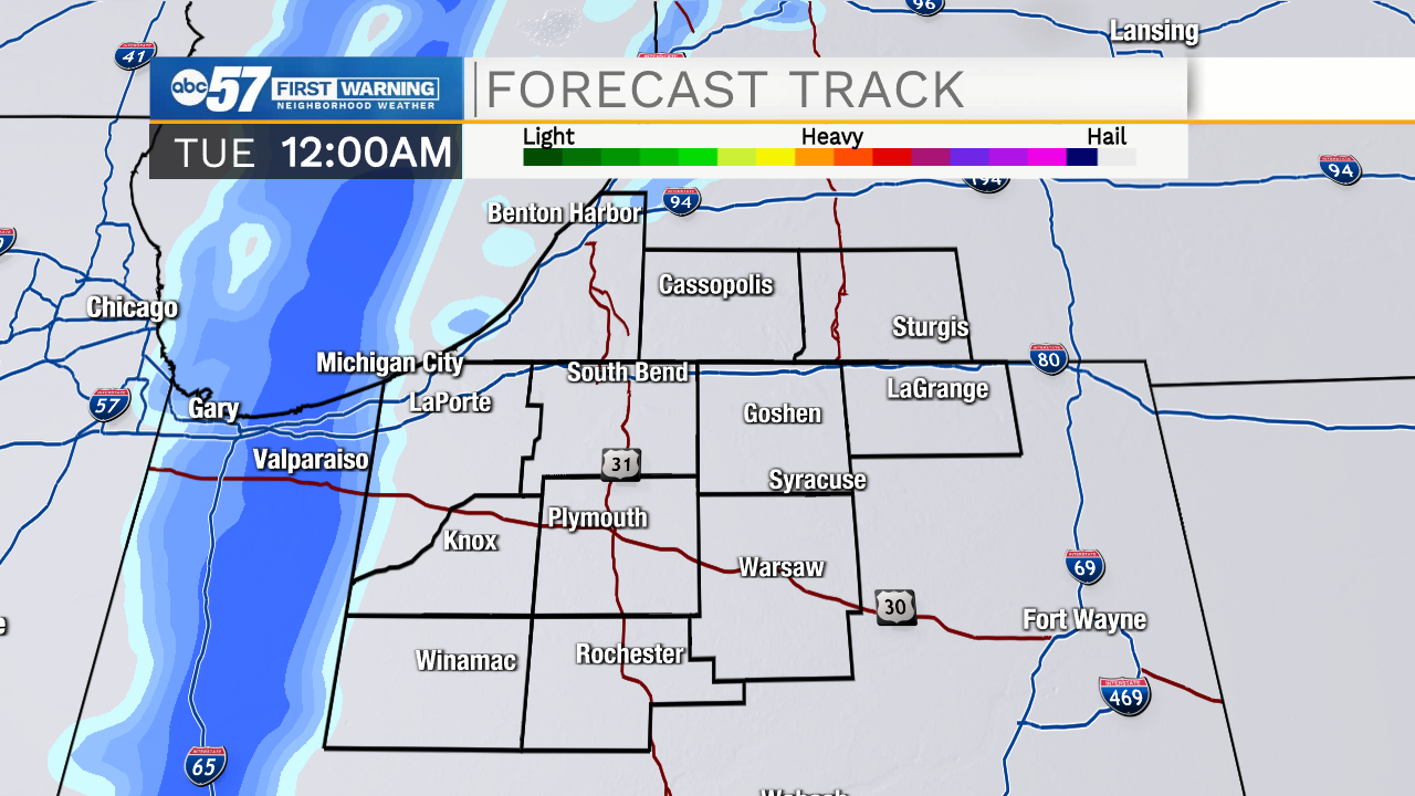
This evening some areas of patchy fog will develop and last through mid-morning tomorrow. Temperatures tomorrow morning will drop into the mid 20s, which could cause a few slick spots on the roadways. Highs during the afternoon will top out in the mid 30s. Tomorrow night a few snow showers will return for the Michiana area. This round of snow will be quick moving, and only last through the mid-morning hours Tuesday. Very low accumulation is expected. The rest of the week looks mostly dry and mild. Temperatures will warm into the upper 30s Wednesday and Thursday. Temperatures will start to drop back into the lower 30s by next weekend. A few rain and snow showers are possible next Sunday night and Monday.
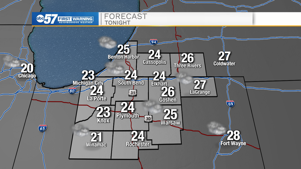
Tonight: Patchy fog. Low 24.
Tomorrow: Cloudy. High 36.
Tuesday: Mostly cloudy. High 36.
Wednesday: Mostly cloudy. High 38.